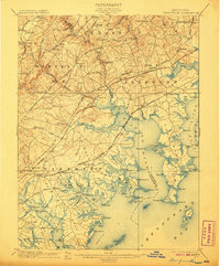
1901 Map of Gunpowder
USGS Topo · Published 1907About this map
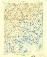
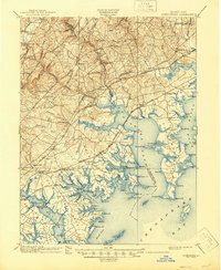
Gunpowder River and the complex tidal estuaries of the Chesapeake Bay dominate this turn-of-the-century coastal survey. The map details a landscape where industrial transit and maritime life intersect, showing the Pennsylvania R.R. and Baltimore and Ohio R.R. cutting across the many fingers of the Middle River and Bird River. Settlement patterns follow the high ground along historic corridors like the Belair Turnpike, connecting inland communities such as Kingsville and Jerusalem to the waterfront.
Find a feature on this map
139 named features on this map. Tap any name to fly to it.
Don’t see what you’re looking for? This feature index may not catch every label — zoom into the map to look around manually.
Map Details
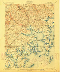
Editions of this 1901 Gunpowder Map
7 editions found

Other maps of this area

1893 · North Point
USGS Topo · 1:62,500

1893 · Gunpowder
USGS Topo · 1:62,500

1894 · Baltimore
USGS Topo · 1:62,500

1894 · Relay
USGS Topo · 1:62,500

1898 · Tolchester
USGS Topo · 1:125,000

1899 · Baltimore
USGS Topo · 1:62,500

1900 · Havre De Grace
USGS Topo · 1:62,500

1900 · Betterton
USGS Topo · 1:62,500

1900 · Parkton
USGS Topo · 1:62,500

1901 · Belair
USGS Topo · 1:62,500