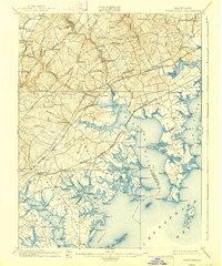
1901 Map of Gunpowder
USGS Topo · Published 1939About this map
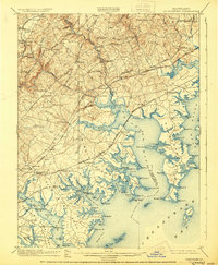
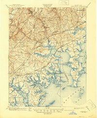
The intricate coastal architecture of Baltimore and Harford counties is defined here by the meeting of major waterways and early turnpikes. The landscape is dominated by the Gunpowder River and its massive estuaries, including Bird River and Middle River, which cut deeply into the land to create distinctive peninsulas like Carroll Island and numerous points named for early settlers. Inland, the transition from maritime trade to overland commerce is clear, as the Philadelphia Turnpike and Belair Road connect older rural settlements like Kingsville, Jerusalem, and Franklinville.
Find a feature on this map
146 named features on this map. Tap any name to fly to it.
Don’t see what you’re looking for? This feature index may not catch every label — zoom into the map to look around manually.
Map Details
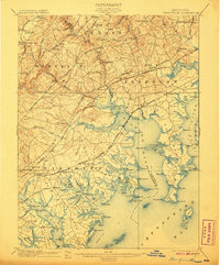
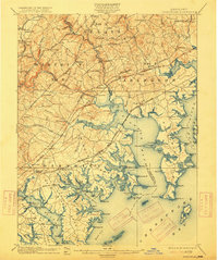
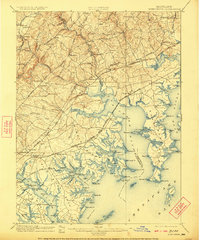
Editions of this 1901 Gunpowder Map
7 editions found

Other maps of this area

1893 · North Point
USGS Topo · 1:62,500

1893 · Gunpowder
USGS Topo · 1:62,500

1894 · Baltimore
USGS Topo · 1:62,500

1894 · Relay
USGS Topo · 1:62,500

1898 · Tolchester
USGS Topo · 1:125,000

1899 · Baltimore
USGS Topo · 1:62,500

1900 · Havre De Grace
USGS Topo · 1:62,500

1900 · Betterton
USGS Topo · 1:62,500

1900 · Parkton
USGS Topo · 1:62,500

1901 · Belair
USGS Topo · 1:62,500