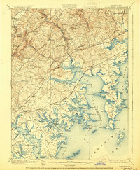
1901 Map of Gunpowder
USGS Topo · Published 1930About this map
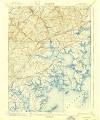
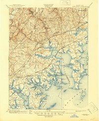
The tidal necks and river inlets of the upper Chesapeake Bay define this turn-of-the-century landscape, where the Gunpowder River and Bush River meet the complex Maryland shoreline. Established inland settlements like Joppa, Jerusalem, and Kingsville sit amidst a network of early transit corridors, including the Bel Air and Harford Turnpike and the Philadelphia Turnpike. This area is a critical junction for historical transportation, featuring the tracks of the Maryland and Pennsylvania R. R. and the Baltimore and Ohio R. R.. Near the coast, the geography is dominated by prominent points and islands such as Carroll Island and Miller I., while sites like Harford Furnace and the Battle Monument highlight the region's early industrial and commemorative history. The map captures the transition from the upland valley of Long Green Run to the marshy estuaries of Dundee Creek and Saltpeter Creek.
Find a feature on this map
127 named features on this map. Tap any name to fly to it.
Don’t see what you’re looking for? This feature index may not catch every label — zoom into the map to look around manually.
Map Details
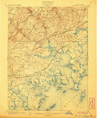
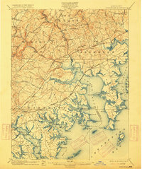
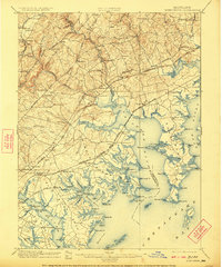
Editions of this 1901 Gunpowder Map
7 editions found

Other maps of this area

1893 · North Point
USGS Topo · 1:62,500

1893 · Gunpowder
USGS Topo · 1:62,500

1894 · Baltimore
USGS Topo · 1:62,500

1894 · Relay
USGS Topo · 1:62,500

1898 · Tolchester
USGS Topo · 1:125,000

1899 · Baltimore
USGS Topo · 1:62,500

1900 · Havre De Grace
USGS Topo · 1:62,500

1900 · Betterton
USGS Topo · 1:62,500

1900 · Parkton
USGS Topo · 1:62,500

1901 · Belair
USGS Topo · 1:62,500