
1901 Map of Gunpowder
USGS Topo · Published 1901About this map
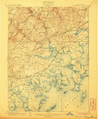
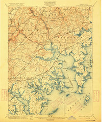
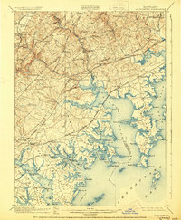
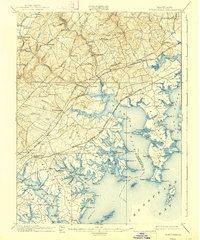
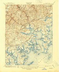
Gunpowder Falls and the Little Gunpowder Falls carve through the coastal plain of Baltimore and Harford Counties, converging near the historic site of Joppa. This 1901 survey documents a landscape of established villages and early industrial sites like Harford Furnace and Franklinville. The region is defined by its intricate shoreline, where the Gunpowder River and Bush River open into the Chesapeake Bay.
Find a feature on this map
139 named features on this map. Tap any name to fly to it.
Don’t see what you’re looking for? This feature index may not catch every label — zoom into the map to look around manually.
Map Details
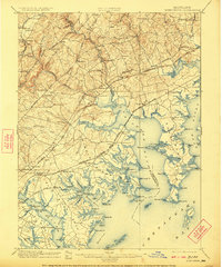
Editions of this 1901 Gunpowder Map
7 editions found
Other maps of this area

1893 · North Point
USGS Topo · 1:62,500

1893 · Gunpowder
USGS Topo · 1:62,500

1894 · Baltimore
USGS Topo · 1:62,500

1894 · Relay
USGS Topo · 1:62,500

1898 · Tolchester
USGS Topo · 1:125,000

1899 · Baltimore
USGS Topo · 1:62,500

1900 · Havre De Grace
USGS Topo · 1:62,500

1900 · Betterton
USGS Topo · 1:62,500

1900 · Parkton
USGS Topo · 1:62,500

1901 · Belair
USGS Topo · 1:62,500