
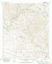
1960 Map of Guthrie
USGS Topo · Published 1961About this map
The Gila River and San Francisco River converge in this high-desert landscape, defining a region where water management and mineral extraction shaped early development. The small settlement of Guthrie serves as a focal point along the Southern Pacific railroad line, while remote outposts like Subia Ranch, Wilkerson Ranch, and Harris Camp illustrate the scattered nature of ranching in the Peloncillo Mountains.
Find a feature on this map
103 named features on this map. Tap any name to fly to it.
Don’t see what you’re looking for? This feature index may not catch every label — zoom into the map to look around manually.
Map Details
Editions of this 1960 Guthrie Map
2 editions found
Other maps of this area

1902 · Clifton
USGS Topo · 1:62,500

1913 · Morenci
USGS Topo · 1:125,000

1915 · Morenci
USGS Topo · 1:125,000

1954 · Silver City
USGS Topo · 1:250,000

1954 · Clifton
USGS Topo · 1:250,000

1957 · Clifton
USGS Topo · 1:250,000

1958 · Silver City
USGS Topo · 1:250,000

1958 · Clifton
USGS Topo · 1:250,000

1959 · York Valley
USGS Topo · 1:62,500

1960 · Duncan
USGS Topo · 1:62,500