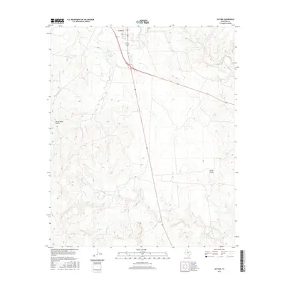
2016 Map of Guthrie
USGS Topo · Published 2016About this map
The town of Guthrie serves as the focal point of this King County landscape, situated near the confluence of local transport routes and the S Wichita River. This area of North Texas is defined by its drainage systems, where the main river course is joined by the South Wichita River and various seasonal tributaries such as Ash Cr and N Croton Cr. The topography reveals a dissected plains environment, characterized by named landforms like Harper Young Canyon and Spring Canyon, which break the surrounding plateau. Local infrastructure is sparse, centered on the community around Guthrie Lake and the Guthrie Cem, illustrating the low-density settlement pattern typical of the Rolling Plains region. The map captures a landscape dedicated to large-scale ranching and water management, evidenced by features such as the Ash Cr Tank.
Find a feature on this map
12 named features on this map. Tap any name to fly to it.
Don’t see what you’re looking for? This feature index may not catch every label — zoom into the map to look around manually.
Map Details
Editions of this 2016 Guthrie Map
This is the sole edition of this map. No revisions or reprints were ever made.
Other maps of this area

1954 · Lubbock
USGS Topo · 1:250,000
1958 · Southerland Canyon
USGS Topo · 1:24,000
1959 · Bob Creek
USGS Topo · 1:24,000
1966 · J Y Ranch
USGS Topo · 1:24,000
1967 · Guthrie NW
USGS Topo · 1:24,000
1967 · Dark Canyon
USGS Topo · 1:24,000
1967 · Fourmile Hill
USGS Topo · 1:24,000
1967 · Kiowa Peak NW
USGS Topo · 1:24,000
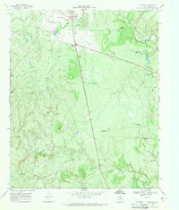
1968 · Guthrie
USGS Topo · 1:24,000
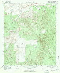
1968 · Pitchfork Flats
USGS Topo · 1:24,000