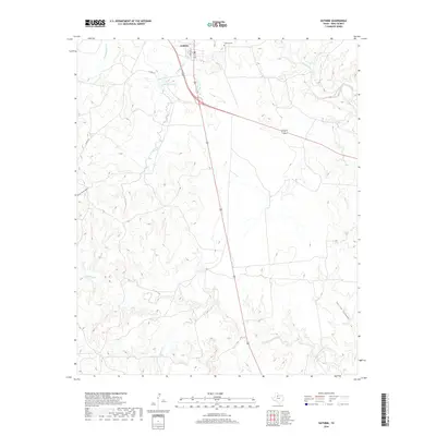
2019 Map of Guthrie
USGS Topo · Published 2019About this map
Guthrie serves as the focal point of this West Texas landscape, situated at the intersection of major regional highways and just south of the S Wichita River. The settlement is closely tied to the surrounding rangeland, with Morrison St anchoring the local street grid. Nearby, the Guthrie Cem and Guthrie Lake provide essential landmarks for local history and genealogy, reflecting the community's long-standing presence in King County.
Find a feature on this map
13 named features on this map. Tap any name to fly to it.
Don’t see what you’re looking for? This feature index may not catch every label — zoom into the map to look around manually.
Map Details
Editions of this 2019 Guthrie Map
This is the sole edition of this map. No revisions or reprints were ever made.
Other maps of this area

1954 · Lubbock
USGS Topo · 1:250,000
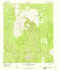
1958 · Southerland Canyon
USGS Topo · 1:24,000
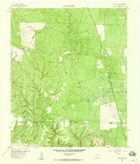
1959 · Bob Creek
USGS Topo · 1:24,000
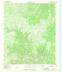
1966 · J Y Ranch
USGS Topo · 1:24,000
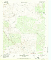
1967 · Guthrie NW
USGS Topo · 1:24,000
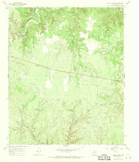
1967 · Dark Canyon
USGS Topo · 1:24,000
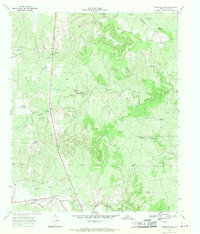
1967 · Fourmile Hill
USGS Topo · 1:24,000
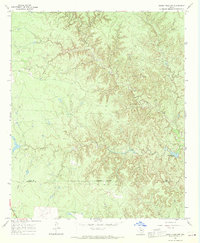
1967 · Kiowa Peak NW
USGS Topo · 1:24,000
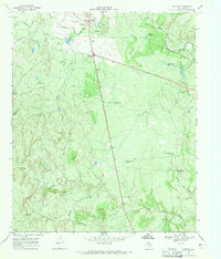
1968 · Guthrie
USGS Topo · 1:24,000
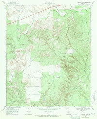
1968 · Pitchfork Flats
USGS Topo · 1:24,000