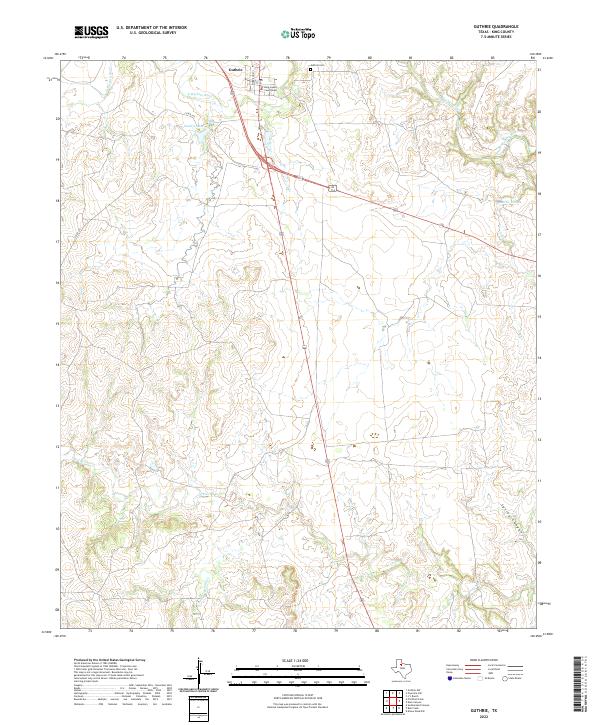
2022 Map of Guthrie
USGS Topo · Published 2022About this map
Guthrie serves as the small but vital focal point of this West Texas landscape, anchored by the King County Courthouse and the nearby Guthrie Cemetery. The settlement is situated near the confluence of several essential water sources, including the South Wichita River and the man-made Guthrie Lake. This geography is defined by its drainage patterns, where the land transitions into more complex terrain marked by the winding paths of North Croton Creek and Spring Canyon.
Find a feature on this map
13 named features on this map. Tap any name to fly to it.
Don’t see what you’re looking for? This feature index may not catch every label — zoom into the map to look around manually.
Map Details
Editions of this 2022 Guthrie Map
This is the sole edition of this map. No revisions or reprints were ever made.
Other maps of this area

1954 · Lubbock
USGS Topo · 1:250,000

1958 · Southerland Canyon
USGS Topo · 1:24,000

1959 · Bob Creek
USGS Topo · 1:24,000

1966 · J Y Ranch
USGS Topo · 1:24,000

1967 · Guthrie NW
USGS Topo · 1:24,000

1967 · Dark Canyon
USGS Topo · 1:24,000

1967 · Fourmile Hill
USGS Topo · 1:24,000

1967 · Kiowa Peak NW
USGS Topo · 1:24,000

1968 · Guthrie
USGS Topo · 1:24,000

1968 · Pitchfork Flats
USGS Topo · 1:24,000