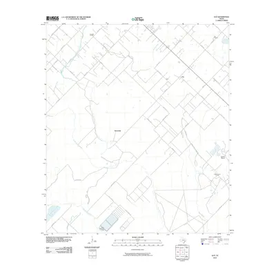
2010 Map of Guy
USGS Topo · Published 2010About this map
Guy and the nearby settlement of Mooredale anchor this corner of Fort Bend County, where the agricultural landscape meets the region's energy history. The terrain is notably marked by Damon Mound, a distinctive salt dome that influenced the local geography and petroleum development, as evidenced by the Damon Mound Oil Field and the Needville Oil Field to the northwest. These geological features stand in contrast to the surrounding drainage systems of the San Bernard River and the braided channels of Mound Creek and Cedar Creek.
Find a feature on this map
42 named features on this map. Tap any name to fly to it.
Don’t see what you’re looking for? This feature index may not catch every label — zoom into the map to look around manually.
Map Details
Editions of this 2010 Guy Map
This is the sole edition of this map. No revisions or reprints were ever made.
Other maps of this area

1950 · Houston
USGS Topo · 1:250,000

1952 · West Columbia
USGS Topo · 1:24,000

1952 · Danciger
USGS Topo · 1:24,000

1952 · Pledger
USGS Topo · 1:24,000

1953 · Needville
USGS Topo · 1:24,000

1953 · Guy
USGS Topo · 1:24,000

1953 · Lake George
USGS Topo · 1:24,000

1953 · Kendleton
USGS Topo · 1:24,000

1953 · Damon
USGS Topo · 1:24,000

1953 · Boling
USGS Topo · 1:24,000