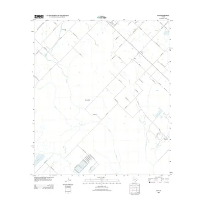
2013 Map of Guy
USGS Topo · Published 2013About this map
Guy and the neighboring settlement of Mooredale define the human landscape of this Fort Bend County region. This modern topographic view reveals a rural landscape deeply influenced by natural drainage and energy extraction. The terrain is crisscrossed by several prominent waterways, including Buffalo Cr, Cedar Cr, and Mound Cr, which dictate the placement of local thoroughfares. Local genealogy and history are anchored at the Guy Cem and along a network of family-named roads such as Walcik Rd, Raesner Rd, and Krueger RD. Economic activity is visible in the presence of the Needville Oil Field in the northwest and the Damon Mound Oil Field in the southeast, indicating the area's ongoing importance to the regional petroleum industry and land use patterns.
Find a feature on this map
66 named features on this map. Tap any name to fly to it.
Don’t see what you’re looking for? This feature index may not catch every label — zoom into the map to look around manually.
Map Details
Editions of this 2013 Guy Map
This is the sole edition of this map. No revisions or reprints were ever made.
Other maps of this area
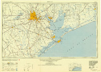
1950 · Houston
USGS Topo · 1:250,000
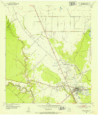
1952 · West Columbia
USGS Topo · 1:24,000
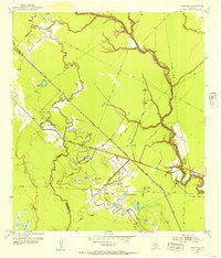
1952 · Danciger
USGS Topo · 1:24,000
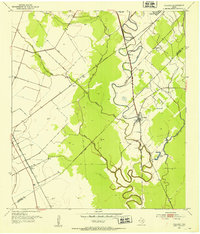
1952 · Pledger
USGS Topo · 1:24,000
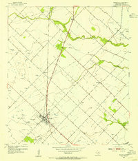
1953 · Needville
USGS Topo · 1:24,000
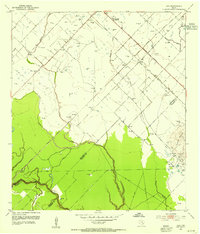
1953 · Guy
USGS Topo · 1:24,000
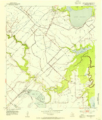
1953 · Lake George
USGS Topo · 1:24,000
1953 · Kendleton
USGS Topo · 1:24,000
1953 · Damon
USGS Topo · 1:24,000
1953 · Boling
USGS Topo · 1:24,000