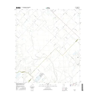
2016 Map of Guy
USGS Topo · Published 2016About this map
Guy and the surrounding coastal prairie transition appear here in a landscape defined by meandering waterways and sprawling agricultural tracts. The settlement pattern is anchored by small rural centers and the notable geographic rise of Damon Mound near the community of Damon. This salt dome formation provides a rare point of elevation in a region otherwise dominated by the low-lying basins of the San Bernard River and its tributaries, including Buffalo Creek and Mound Cr. The network of farm-to-market roads, such as FM 1236 and FM 442 RD, illustrates the 21st-century infrastructure supporting the local ranching and farming economy. Genealogists may find interest in the location of Guy Cem and several family-named landmarks like J C Wicks and Will Lehmann Rd, while the southwestern corner shows the significant footprint of the Baker Reservoir along the river border.
Find a feature on this map
65 named features on this map. Tap any name to fly to it.
Don’t see what you’re looking for? This feature index may not catch every label — zoom into the map to look around manually.
Map Details
Editions of this 2016 Guy Map
This is the sole edition of this map. No revisions or reprints were ever made.
Other maps of this area
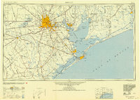
1950 · Houston
USGS Topo · 1:250,000
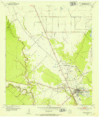
1952 · West Columbia
USGS Topo · 1:24,000
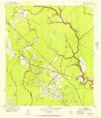
1952 · Danciger
USGS Topo · 1:24,000
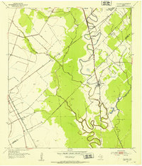
1952 · Pledger
USGS Topo · 1:24,000
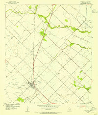
1953 · Needville
USGS Topo · 1:24,000
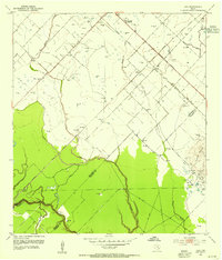
1953 · Guy
USGS Topo · 1:24,000
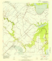
1953 · Lake George
USGS Topo · 1:24,000
1953 · Kendleton
USGS Topo · 1:24,000
1953 · Damon
USGS Topo · 1:24,000
1953 · Boling
USGS Topo · 1:24,000