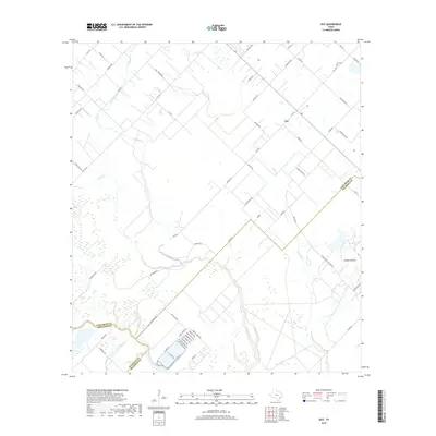
2019 Map of Guy
USGS Topo · Published 2019About this map
Guy sits at a crossroads of ranching and agriculture in southeastern Texas, where the landscape is defined by the winding paths of Buffalo Cr and Mound Cr. This 2019 survey captures the convergence of Fort Bend, Brazoria, and Wharton counties, a tri-county junction marked by the prominent geological feature of Damon Mound to the southeast. The settlement pattern here follows a grid of family-named thoroughfares, such as Hicks Rd and Will Lehmann Rd, reflecting long-standing land holdings in this rural corridor. Near the western border, the San Bernard River provides a natural boundary, while the Guy Cem remains a central landmark for genealogical research in the community. The map also details a dense network of suburban residential streets like Pinemont Dr and Birchmont Dr south of Lake Allen Rd, showing the modern transition of the coastal prairie.
Find a feature on this map
65 named features on this map. Tap any name to fly to it.
Don’t see what you’re looking for? This feature index may not catch every label — zoom into the map to look around manually.
Map Details
Editions of this 2019 Guy Map
This is the sole edition of this map. No revisions or reprints were ever made.
Other maps of this area
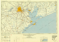
1950 · Houston
USGS Topo · 1:250,000
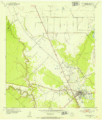
1952 · West Columbia
USGS Topo · 1:24,000
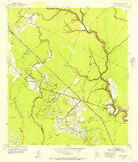
1952 · Danciger
USGS Topo · 1:24,000
1952 · Pledger
USGS Topo · 1:24,000
1953 · Needville
USGS Topo · 1:24,000
1953 · Guy
USGS Topo · 1:24,000
1953 · Lake George
USGS Topo · 1:24,000
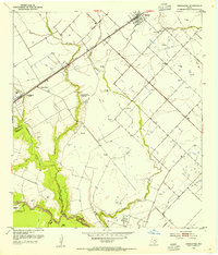
1953 · Kendleton
USGS Topo · 1:24,000
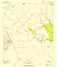
1953 · Damon
USGS Topo · 1:24,000
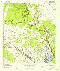
1953 · Boling
USGS Topo · 1:24,000