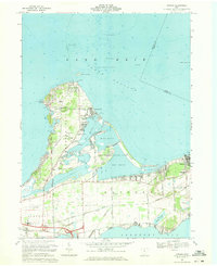
1969 Map of Gypsum
USGS Topo · Published 1971About this map
Catawba Island and the Marblehead Peninsula dominate this Lake Erie shoreline during the late 1960s. The landscape is a distinct blend of industrial extraction and burgeoning shoreline recreation. The eastern edge is anchored by the massive Marblehead Quarry, while the northern points are occupied by Lakeside and Gem Beach. Several local cemeteries, including Catawba Island Cem, St Pauls Ch Cem, and Sackett Cem, offer vital reference points for genealogists.
Find a feature on this map
64 named features on this map. Tap any name to fly to it.
Don’t see what you’re looking for? This feature index may not catch every label — zoom into the map to look around manually.
Map Details
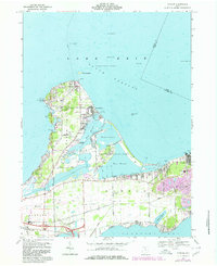
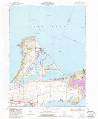
Editions of this 1969 Gypsum Map
3 editions found
Other maps of this area

1901 · Put-In-Bay
USGS Topo · 1:62,500

1901 · Bellevue
USGS Topo · 1:62,500

1903 · Bellevue
USGS Topo · 1:62,500

1903 · Put In Bay
USGS Topo · 1:62,500

1904 · Sandusky
USGS Topo · 1:62,500

1916 · Kelleys Island
USGS Topo · 1:62,500

1919 · Kelleys Island
USGS Topo · 1:62,500

1956 · Toledo
USGS Topo · 1:250,000

1957 · Vickery
USGS Topo · 1:24,000

1959 · Sandusky
USGS Topo · 1:24,000