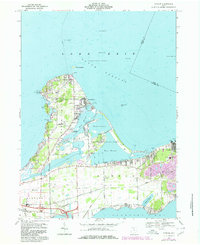
1969 Map of Gypsum
USGS Topo · Published 1980About this map
Catawba Island and its surrounding peninsula define this transition between the open waters of Lake Erie and the protected reaches of Sandusky Bay. The map documents a landscape deeply shaped by both leisure and heavy industry during the late 1960s. To the north, summer communities and landmarks like Gem Beach, Lakeside, and Catawba Island State Park highlight the region's recreational draw, while the massive Marblehead Quarry and its associated tailings illustrate the importance of geological extraction to the local economy.
Find a feature on this map
63 named features on this map. Tap any name to fly to it.
Don’t see what you’re looking for? This feature index may not catch every label — zoom into the map to look around manually.
Map Details
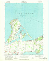
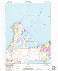
Editions of this 1969 Gypsum Map
3 editions found
Other maps of this area

1901 · Put-In-Bay
USGS Topo · 1:62,500

1901 · Bellevue
USGS Topo · 1:62,500

1903 · Bellevue
USGS Topo · 1:62,500

1903 · Put In Bay
USGS Topo · 1:62,500

1904 · Sandusky
USGS Topo · 1:62,500

1916 · Kelleys Island
USGS Topo · 1:62,500

1919 · Kelleys Island
USGS Topo · 1:62,500

1956 · Toledo
USGS Topo · 1:250,000

1957 · Vickery
USGS Topo · 1:24,000

1959 · Sandusky
USGS Topo · 1:24,000