
1905 Map of Hackettstown
USGS Topo · Published 1905About this map
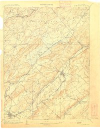
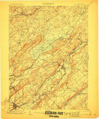
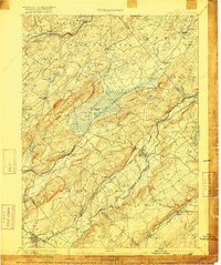
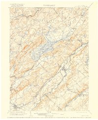
Hackettstown serves as a focal point for this 1905 landscape, where the Musconetcong River and Pequest River carve through the ridges of Schooley Mountain and Jenny Jump Mountain. This era is defined by a dense network of industrial and transport infrastructure, most notably the winding path of the Morris Canal and the Oxford Tunnel on the Delaware Lackawanna and Western Railroad. These engineering feats reflect the region's role in moving anthracite coal and iron ore during the early 20th century.
Find a feature on this map
93 named features on this map. Tap any name to fly to it.
Don’t see what you’re looking for? This feature index may not catch every label — zoom into the map to look around manually.
Map Details
Editions of this 1905 Hackettstown Map
5 editions found
Other maps of this area

1888 · Franklin
USGS Topo · 1:62,500

1888 · Hackettstown
USGS Topo · 1:62,500

1888 · Lake Hopatcong
USGS Topo · 1:62,500

1890 · Easton
USGS Topo · 1:62,500

1890 · High Bridge
USGS Topo · 1:62,500

1891 · Somerville
USGS Topo · 1:62,500

1891 · Easton
USGS Topo · 1:62,500

1891 · Wallpack
USGS Topo · 1:62,500

1891 · Delaware Water Gap
USGS Topo · 1:62,500

1893 · Delaware Water Gap
USGS Topo · 1:62,500