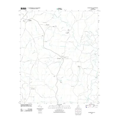
2011 Map of Hackneyville
USGS Topo · Published 2011About this map
Hackneyville and the surrounding Tallapoosa County countryside appear here as a network of rural settlements and historic burying grounds. This area is characterized by its numerous small-scale communities such as Pinkneyville, Liberty, and Cleveland Crossroads. The landscape is intricately defined by a dense web of waterways, including Little Hillabee Creek, Broken Arrow Creek, and the winding Town Creek, which historically dictated the placement of early crossings like Hutchinson Ford.
Find a feature on this map
72 named features on this map. Tap any name to fly to it.
Don’t see what you’re looking for? This feature index may not catch every label — zoom into the map to look around manually.
Map Details
Editions of this 2011 Hackneyville Map
This is the sole edition of this map. No revisions or reprints were ever made.
Other maps of this area

1890 · Talladega
USGS Topo · 1:125,000

1891 · Ashland
USGS Topo · 1:125,000

1892 · Talladega
USGS Topo · 1:125,000

1901 · Wetumpka
USGS Topo · 1:125,000

1903 · Wetumpka
USGS Topo · 1:125,000

1906 · Dadeville
USGS Topo · 1:125,000

1944 · Goodwater
USGS Topo · 1:62,500

1947 · Goodwater
USGS Topo · 1:62,500

1953 · Montgomery
USGS Topo · 1:250,000

1953 · Birmingham
USGS Topo · 1:250,000