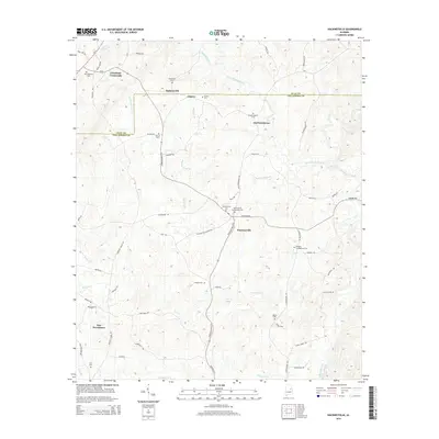
2014 Map of Hackneyville
USGS Topo · Published 2014About this map
Hackneyville serves as the central hub of this Tallapoosa County landscape, where State Highway 63 N intersects several local routes like Hackneyville Cutoff Rd and Sanford Rd. The area is defined by a dense network of small cemeteries and rural crossroads, including Cleveland Crossroads and Old Providence. These sites, such as Hillabee Campground Cem and the Hackneyville Presbyterian Cem, offer significant geographic markers for local family history research. The terrain is deeply etched by a complex drainage system flowing toward Town Cr and Little Hillabee Creek. Further north, the border with Clay County passes near Pinkneyville, reflecting the long-standing agricultural and residential patterns of this part of Alabama. The map reveals how modern roads have integrated with older settlements like Liberty and New Providence.
Find a feature on this map
72 named features on this map. Tap any name to fly to it.
Don’t see what you’re looking for? This feature index may not catch every label — zoom into the map to look around manually.
Map Details
Editions of this 2014 Hackneyville Map
This is the sole edition of this map. No revisions or reprints were ever made.
Other maps of this area

1890 · Talladega
USGS Topo · 1:125,000

1891 · Ashland
USGS Topo · 1:125,000

1892 · Talladega
USGS Topo · 1:125,000

1901 · Wetumpka
USGS Topo · 1:125,000

1903 · Wetumpka
USGS Topo · 1:125,000

1906 · Dadeville
USGS Topo · 1:125,000

1944 · Goodwater
USGS Topo · 1:62,500

1947 · Goodwater
USGS Topo · 1:62,500

1953 · Montgomery
USGS Topo · 1:250,000

1953 · Birmingham
USGS Topo · 1:250,000