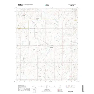
2020 Map of Hackneyville
USGS Topo · Published 2020About this map
Hackneyville serves as the central hub of this landscape, situated near the headwaters of Hackney Cr where several rural routes converge. The area is defined by its deep genealogical roots, evidenced by a high density of family and community burial grounds including the Old Providence Cem and Hackneyville Presbyterian Cem. To the north, Cleveland Crossroads and Pinkneyville mark historical points of transit along the boundary between Clay and Tallapoosa counties.
Find a feature on this map
69 named features on this map. Tap any name to fly to it.
Don’t see what you’re looking for? This feature index may not catch every label — zoom into the map to look around manually.
Map Details
Editions of this 2020 Hackneyville Map
This is the sole edition of this map. No revisions or reprints were ever made.
Other maps of this area

1890 · Talladega
USGS Topo · 1:125,000

1891 · Ashland
USGS Topo · 1:125,000

1892 · Talladega
USGS Topo · 1:125,000

1901 · Wetumpka
USGS Topo · 1:125,000

1903 · Wetumpka
USGS Topo · 1:125,000

1906 · Dadeville
USGS Topo · 1:125,000

1944 · Goodwater
USGS Topo · 1:62,500

1947 · Goodwater
USGS Topo · 1:62,500

1953 · Montgomery
USGS Topo · 1:250,000

1953 · Birmingham
USGS Topo · 1:250,000