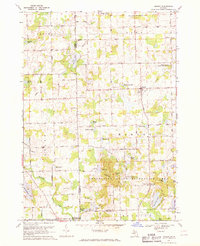
1968 Map of Hadley
USGS Topo · Published 1970About this map
The settlement of Hadley serves as the focal point for this Lapeer County survey, showcasing a landscape transitioning from rural farmstead grids to recreational lakeside development in the late 1960s. The northern reaches are dominated by a series of named roads like Atherton Road and Bristol Road, while the center-east features the significant footprint of Lake Lapeer. This body of water, along with others like Big Fish Lake and Shinanguag Lake, reflects the glaciated terrain of Michigan's Thumb region.
Find a feature on this map
95 named features on this map. Tap any name to fly to it.
Don’t see what you’re looking for? This feature index may not catch every label — zoom into the map to look around manually.
Map Details
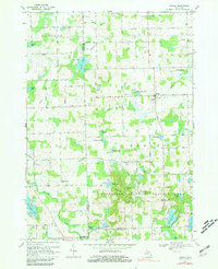
Editions of this 1968 Hadley Map
2 editions found
Other maps of this area

1920 · Flint
USGS Topo · 1:62,500

1920 · Holly
USGS Topo · 1:62,500

1922 · Holly
USGS Topo · 1:62,500

1922 · Flint
USGS Topo · 1:62,500

1943 · Holly
USGS Topo · 1:62,500

1943 · Flint
USGS Topo · 1:62,500

1943 · Ortonville
USGS Topo · 1:24,000

1943 · Oxford
USGS Topo · 1:24,000

1943 · Metamora
USGS Topo · 1:24,000

1945 · Oxford
USGS Topo · 1:24,000