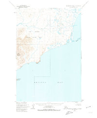
1952 Map of Hagemeister Island C-5
USGS Topo · Published 1974About this map
Cape Newenham National Wildlife Refuge dominates this coastal survey, where the terrestrial landscape of Southwest Alaska meets the cold waters of Bristol Bay. The terrain is defined by the significant elevation of Slug Mountain, which stands as a prominent landmark near the western coast. From these heights, the drainage of the Slug River winds across the tundra toward the sea. The coastline itself is marked by sharp geographic transitions, from the jagged profile of Pyrite Pt to the elongated reach of Asigyukpak Spit in the east. Inland water bodies like Norseman Lake and offshore features such as Shaiak Island provide a clear picture of the remote maritime environment as it was mapped by the U. S. Coast and Geodetic Survey during the mid-20th century.
Find a feature on this map
10 named features on this map. Tap any name to fly to it.
Don’t see what you’re looking for? This feature index may not catch every label — zoom into the map to look around manually.
Map Details
Editions of this 1952 Hagemeister Island C-5 Map
2 editions found
Other maps of this area

1948 · Hagemeister Island C-6
USGS Topo · 1:63,360

1948 · Hagemeister Island C-4
USGS Topo · 1:63,360

1948 · Hagemeister Island C-5
USGS Topo · 1:63,360

1950 · Hagemeister Island D-6
USGS Topo · 1:63,360

1950 · Hagemeister Island D-5
USGS Topo · 1:63,360

1951 · Hagemeister Island
USGS Topo · 1:250,000

1952 · Hagemeister Island C-6
USGS Topo · 1:63,360
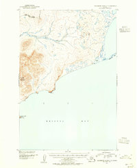
1952 · Hagemeister Island C-5
USGS Topo · 1:63,360

1952 · Hagemeister Island C-4
USGS Topo · 1:63,360

1954 · Hagemeister Island D-5
USGS Topo · 1:63,360