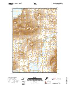
2018 Map of Hagemeister Island C-6 NE
USGS Topo · Published 2018About this map
Chagvan Mtn dominates the high ground of this coastal Alaskan landscape, rising above the western shoreline of the Pacific Ocean. This 2018 survey reveals a terrain defined by dramatic elevation changes and a winding hydrological network. The Slug River meanders through the central and eastern portions of the quadrangle, carving a path toward the southern coast. The mapping illustrates a completely wild environment within the Bethel Census Area, devoid of roads or settlements. Instead, it documents the natural intersection of high peaks and river drainage systems where the mainland meets the sea. This record is particularly useful for understanding the exact topographical contours of the mountains and the shifting wetlands surrounding the river mouth as they existed in the early 21st century.
Find a feature on this map
9 named features on this map. Tap any name to fly to it.
Don’t see what you’re looking for? This feature index may not catch every label — zoom into the map to look around manually.
Map Details
Editions of this 2018 Hagemeister Island C-6 NE Map
This is the sole edition of this map. No revisions or reprints were ever made.
Other maps of this area

1948 · Hagemeister Island C-6
USGS Topo · 1:63,360

1948 · Hagemeister Island C-5
USGS Topo · 1:63,360

1950 · Hagemeister Island D-6
USGS Topo · 1:63,360

1950 · Hagemeister Island D-5
USGS Topo · 1:63,360

1951 · Hagemeister Island
USGS Topo · 1:250,000

1952 · Hagemeister Island C-6
USGS Topo · 1:63,360
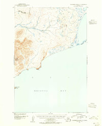
1952 · Hagemeister Island C-5
USGS Topo · 1:63,360

1954 · Hagemeister Island D-5
USGS Topo · 1:63,360

1957 · Hagemeister Island
USGS Topo · 1:250,000
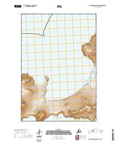
2018 · Hagemeister Island C-6 NW
USGS Topo · 1:25,000