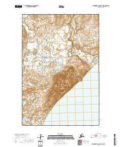
2018 Map of Hagemeister Island D-3 NE
USGS Topo · Published 2018About this map
Aeolus Mtn anchors this coastal section of the Dillingham Census Area, where the land meets the northern reach of the Pacific Ocean. The terrain is defined by a dense network of wetlands and tundra drainage, with the Matogluk River winding through the western portion of the quadrangle while the Quigmy River flows toward the coast in the east. This 2018 survey reveals a landscape largely devoid of human infrastructure, focusing instead on the hydrological patterns and topographic contours of the Bristol Bay region. The surveyor's data captures the precise transition from the highland slopes of Aeolus Mtn down to the sea, illustrating the natural drainage systems that define this part of the Alaskan coastline.
Find a feature on this map
7 named features on this map. Tap any name to fly to it.
Don’t see what you’re looking for? This feature index may not catch every label — zoom into the map to look around manually.
Map Details
Editions of this 2018 Hagemeister Island D-3 NE Map
This is the sole edition of this map. No revisions or reprints were ever made.
Other maps of this area

1947 · Hagemeister Island D-2
USGS Topo · 1:63,360

1948 · Hagemeister Island D-3
USGS Topo · 1:63,360

1951 · Goodnews
USGS Topo · 1:250,000

1951 · Hagemeister Island
USGS Topo · 1:250,000

1953 · Hagemeister Island D-2
USGS Topo · 1:63,360

1957 · Hagemeister Island
USGS Topo · 1:250,000

1979 · Goodnews Bay A-5
USGS Topo · 1:63,360

1979 · Goodnews Bay
USGS Topo · 1:250,000
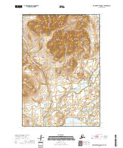
2018 · Hagemeister Island D-3 NW
USGS Topo · 1:25,000
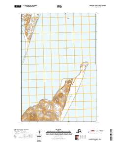
2018 · Hagemeister Island D-3 SE
USGS Topo · 1:25,000