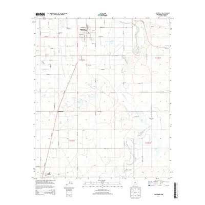
2013 Map of Hagerman
USGS Topo · Published 2013About this map
Hagerman and Lake Arthur anchor this high-plains landscape in Chaves County, where the Rio Felix meanders toward its confluence with the Pecos River. The map documents a structured grid of rural roads and irrigation-influenced hydrology, characteristic of the Pecos Valley's agricultural development. Water management is a primary theme of the terrain, visible through features like Lake Tolliver, Prichard Lakes, and Buffalo Lake, which contrast with the dry surroundings of Long Arroyo. Local history and genealogy interests are well-served by the inclusion of the Hagerman Cem and smaller localized settlements such as Mossman and Buffalo Valley. Large-scale land use is represented by the King Ranch and Buffalo Valley Farm, illustrating the region's reliance on ranching and organized farming near the river's fertile corridor.
Find a feature on this map
82 named features on this map. Tap any name to fly to it.
Don’t see what you’re looking for? This feature index may not catch every label — zoom into the map to look around manually.
Map Details
Editions of this 2013 Hagerman Map
This is the sole edition of this map. No revisions or reprints were ever made.
Other maps of this area

1950 · Dexter West
USGS Topo · 1:24,000

1950 · Dexter East
USGS Topo · 1:24,000

1951 · Ninemile Well
USGS Topo · 1:24,000

1951 · Diamond Mound
USGS Topo · 1:24,000

1951 · Hagerman
USGS Topo · 1:24,000

1952 · Bar C Bar Ranch
USGS Topo · 1:24,000

1952 · Hagerman SW
USGS Topo · 1:24,000

1953 · Espuela
USGS Topo · 1:24,000

1954 · Carlsbad
USGS Topo · 1:250,000

1955 · Artesia NE
USGS Topo · 1:24,000