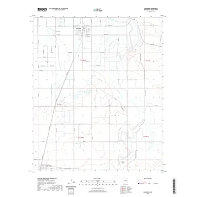
2020 Map of Hagerman
USGS Topo · Published 2020About this map
Hagerman and Lake Arthur anchor this high-desert agricultural corridor in the Pecos River valley. The landscape is defined by the intersection of irrigation and natural hydrology, where the Rio Felix flows toward the larger Pecos River through a series of local landmarks including the Rio Feliz Bridge. Just north of the main settlement lies the Hagerman Cem, a key site for local genealogical research.
Find a feature on this map
74 named features on this map. Tap any name to fly to it.
Don’t see what you’re looking for? This feature index may not catch every label — zoom into the map to look around manually.
Map Details
Editions of this 2020 Hagerman Map
This is the sole edition of this map. No revisions or reprints were ever made.
Other maps of this area

1950 · Dexter West
USGS Topo · 1:24,000

1950 · Dexter East
USGS Topo · 1:24,000

1951 · Ninemile Well
USGS Topo · 1:24,000

1951 · Diamond Mound
USGS Topo · 1:24,000

1951 · Hagerman
USGS Topo · 1:24,000

1952 · Bar C Bar Ranch
USGS Topo · 1:24,000

1952 · Hagerman SW
USGS Topo · 1:24,000

1953 · Espuela
USGS Topo · 1:24,000

1954 · Carlsbad
USGS Topo · 1:250,000

1955 · Artesia NE
USGS Topo · 1:24,000