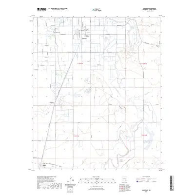
2023 Map of Hagerman
USGS Topo · Published 2023About this map
Hagerman serves as the primary hub in this Chaves County landscape, where the BNSF Railway corridor parallels the north-south movement of water and commerce. The township is flanked by the Hagerman Cem and Hagerman Masonic Cem, providing specific points of interest for genealogists tracing local families. The geography is defined by the winding course of the Pecos River to the east and the Rio Felix to the north, creating a riparian environment that supports various water bodies such as Lake Tolliver, Prichard Lakes, and Buffalo Lake. Further south, the settlement of Mossman and the community near Lake Arthur sit along the rail line, illustrating the historical importance of the railroad to these agricultural and ranching territories. The presence of Long Arroyo and the broad Buffalo Valley indicates the natural drainage patterns that have shaped the development of this section of the Pecos Valley.
Find a feature on this map
78 named features on this map. Tap any name to fly to it.
Don’t see what you’re looking for? This feature index may not catch every label — zoom into the map to look around manually.
Map Details
Editions of this 2023 Hagerman Map
This is the sole edition of this map. No revisions or reprints were ever made.
Other maps of this area

1950 · Dexter West
USGS Topo · 1:24,000

1950 · Dexter East
USGS Topo · 1:24,000

1951 · Ninemile Well
USGS Topo · 1:24,000

1951 · Diamond Mound
USGS Topo · 1:24,000

1951 · Hagerman
USGS Topo · 1:24,000

1952 · Bar C Bar Ranch
USGS Topo · 1:24,000

1952 · Hagerman SW
USGS Topo · 1:24,000

1953 · Espuela
USGS Topo · 1:24,000

1954 · Carlsbad
USGS Topo · 1:250,000

1955 · Artesia NE
USGS Topo · 1:24,000