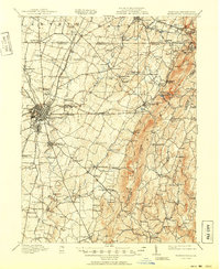
1912 Map of Hagerstown
USGS Topo · Published 1950About this map
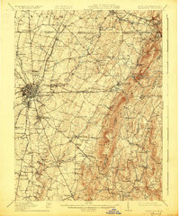
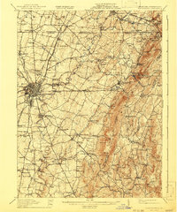
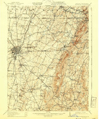
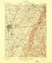
Hagerstown serves as a major transportation hub in this early 20th-century landscape, where the Western Maryland RR and Baltimore and Ohio RR converge amidst a dense network of tollgates and early turnpikes. The transition from the limestone-rich Hagerstown Valley to the steep inclines of South Mountain is punctuated by numerous small agrarian settlements and social centers like Funkstown, Smithsburg, and Boonsboro. Genealogists will find a wealth of local landmarks including Welty's Church, Manor Church, and dozens of rural schoolhouses such as Broadway School and Mt Aetna School. Along the eastern ridge, the Appalachian Trail follows the high ground near Quirauk Mtn and Monument Knob, while the waters of Antietam Creek power local industry at sites like Rose Mill and Paintrock Mill.
Find a feature on this map
147 named features on this map. Tap any name to fly to it.
Don’t see what you’re looking for? This feature index may not catch every label — zoom into the map to look around manually.
Map Details
Editions of this 1912 Hagerstown Map
9 editions found

Other maps of this area

1884 · Harpers Ferry
USGS Topo · 1:125,000

1891 · Harpers Ferry
USGS Topo · 1:125,000

1893 · Frederick
USGS Topo · 1:125,000

1893 · Harpers Ferry
USGS Topo · 1:125,000

1894 · Frederick
USGS Topo · 1:125,000

1900 · Mercersburg
USGS Topo · 1:62,500

1902 · Chambersburg
USGS Topo · 1:62,500

1902 · Mercersburg
USGS Topo · 1:62,500

1908 · Middletown
USGS Topo · 1:48,000

1908 · Ijamsville
USGS Topo · 1:62,500