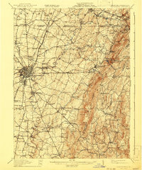
1912 Map of Hagerstown
USGS Topo · Published 1941About this map
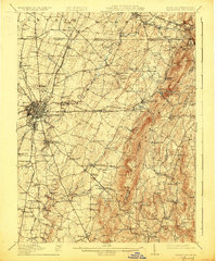
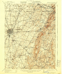
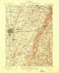
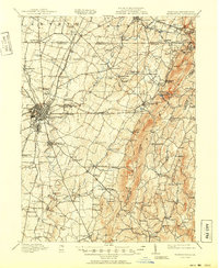
Antietam Creek winds southward through this fertile valley between South Mountain and the growing hub of Hagerstown at the turn of the century. The landscape reveals a dense network of early transportation and industry, with numerous tollgates guarding the turnpikes and water-powered operations such as Bowmans Mill and Paintrock Mill along the watercourses. The early 1900s rail infrastructure is exceptionally detailed, featuring the Cumberland Valley RR, the Western Maryland RR, and the interurban Hagerstown & Boonsboro Electric Ry.
Find a feature on this map
136 named features on this map. Tap any name to fly to it.
Don’t see what you’re looking for? This feature index may not catch every label — zoom into the map to look around manually.
Map Details
Editions of this 1912 Hagerstown Map
9 editions found

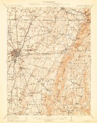
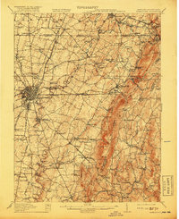
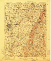
Other maps of this area

1884 · Harpers Ferry
USGS Topo · 1:125,000

1891 · Harpers Ferry
USGS Topo · 1:125,000

1893 · Frederick
USGS Topo · 1:125,000

1893 · Harpers Ferry
USGS Topo · 1:125,000

1894 · Frederick
USGS Topo · 1:125,000

1900 · Mercersburg
USGS Topo · 1:62,500

1902 · Chambersburg
USGS Topo · 1:62,500

1902 · Mercersburg
USGS Topo · 1:62,500

1908 · Middletown
USGS Topo · 1:48,000

1908 · Ijamsville
USGS Topo · 1:62,500