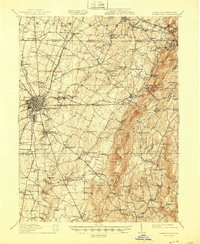
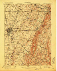
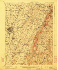
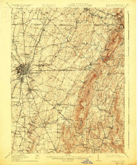
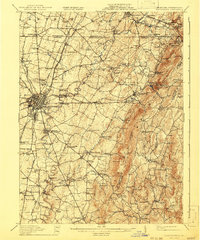
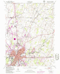
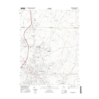
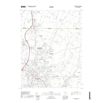
1912 Map of Hagerstown
USGS Topo · Published 1945About this map
Hagerstown serves as the central hub of this pre-war Maryland landscape, where the Cumberland Valley RR, Western Maryland RR, and Norfolk and Western RR converge. The survey reflects a dense network of late 19th-century infrastructure, including numerous tollgates along the turnpikes and various mills like Strites Mill and Rose Mill powered by the Antietam Creek. To the east, the terrain rises sharply into the Blue Ridge, marked by the Appalachian Trail crossing high points such as Quirauk Mtn and High Rock.
Find a feature on this map
123 named features on this map. Tap any name to fly to it.
Don’t see what you’re looking for? This feature index may not catch every label — zoom into the map to look around manually.
Map Details
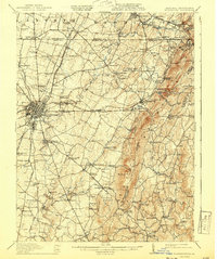
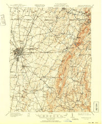
Editions of this 1912 Hagerstown Map
9 editions found


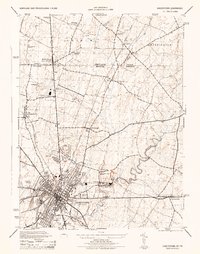
Historical Maps of Hagerstown Through Time
13 maps found

1909 Hagerstown
Washington County, MD
1912 Hagerstown
Washington County, MD

1942 Hagerstown
Washington County, MD

1943 Hagerstown
Washington County, MD
1944 Hagerstown
Washington County, MD
1953 Hagerstown
Washington County, MD

1983 Hagerstown
Washington County, MD
1999 Hagerstown
Washington County, MD
2011 Hagerstown
Washington County, MD
2014 Hagerstown
Washington County, MD
2016 Hagerstown
Washington County, MD
2019 Hagerstown
Washington County, MD
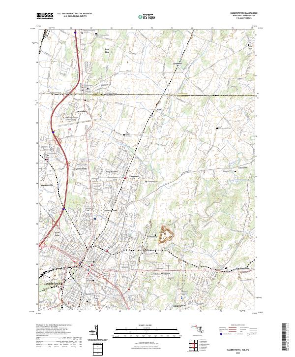
2023 Hagerstown
Washington County, MD