
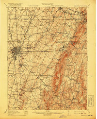
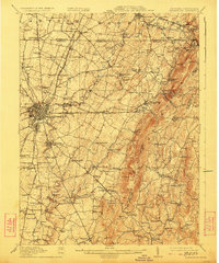
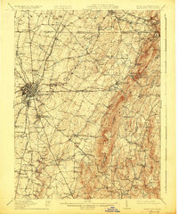
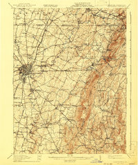
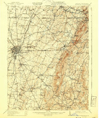
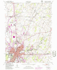
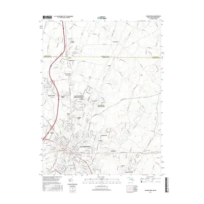
1912 Map of Hagerstown
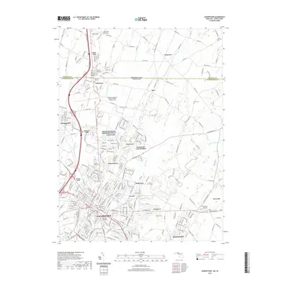
USGS Topo · Published 1912About this map
Hagerstown serves as the central hub of this Maryland landscape, radiating turn-of-the-century turnpikes and rail lines through the fertile Cumberland Valley. The survey illustrates a complex transportation network where the Western Maryland R R and N & W R R intersect with historic thoroughfares like the Emmitsburg Turnpike. The eastern edge is defined by the sharp rise of South Mountain and Catoctin Mountain, featuring landmarks like Quirauk Mtn and the resort-era settlement of Pen Mar. Local industry and rural community life are evident in the numerous milling sites such as Rose Mill and Strites Mill, alongside dozens of one-room schoolhouses like Near Eden School and Whitehall School. The winding course of Antietam Creek carves through the limestone valley, passing the Devils Backbone as it flows toward the Potomac.
Find a feature on this map
149 named features on this map. Tap any name to fly to it.
Don’t see what you’re looking for? This feature index may not catch every label — zoom into the map to look around manually.
Map Details
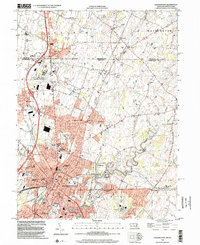
Editions of this 1912 Hagerstown Map
9 editions found

Historical Maps of Hagerstown Through Time
13 maps found

1909 Hagerstown
Washington County, MD
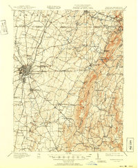
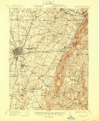
1912 Hagerstown
Washington County, MD

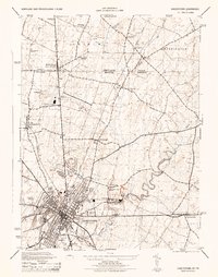
1942 Hagerstown
Washington County, MD

1943 Hagerstown
Washington County, MD
1944 Hagerstown
Washington County, MD
1953 Hagerstown
Washington County, MD

1983 Hagerstown
Washington County, MD
1999 Hagerstown
Washington County, MD
2011 Hagerstown
Washington County, MD
2014 Hagerstown
Washington County, MD
2016 Hagerstown
Washington County, MD
2019 Hagerstown
Washington County, MD
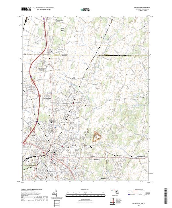
2023 Hagerstown
Washington County, MD