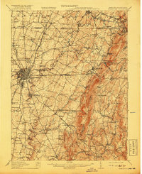
1912 Map of Hagerstown
USGS Topo · Published 1918About this map
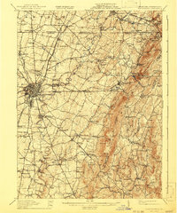
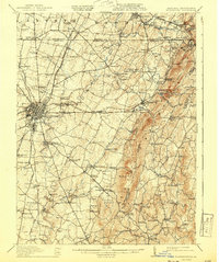
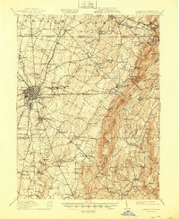
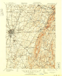
Hagerstown serves as the bustling hub of this survey, where the convergence of the Cumberland Valley Railroad, Western Maryland Railroad, and the Norfolk and Western Railroad illustrates the city's early 20th-century importance as a regional transportation center. The landscape transitions from the developed streets of the city out toward the prominent ridgeline of Catoctin Mountain and peaks like Quirauk Mtn.
Find a feature on this map
139 named features on this map. Tap any name to fly to it.
Don’t see what you’re looking for? This feature index may not catch every label — zoom into the map to look around manually.
Map Details
Editions of this 1912 Hagerstown Map
9 editions found

Other maps of this area

1884 · Harpers Ferry
USGS Topo · 1:125,000

1891 · Harpers Ferry
USGS Topo · 1:125,000

1893 · Frederick
USGS Topo · 1:125,000

1893 · Harpers Ferry
USGS Topo · 1:125,000

1894 · Frederick
USGS Topo · 1:125,000

1900 · Mercersburg
USGS Topo · 1:62,500

1902 · Chambersburg
USGS Topo · 1:62,500

1902 · Mercersburg
USGS Topo · 1:62,500

1908 · Middletown
USGS Topo · 1:48,000

1908 · Ijamsville
USGS Topo · 1:62,500