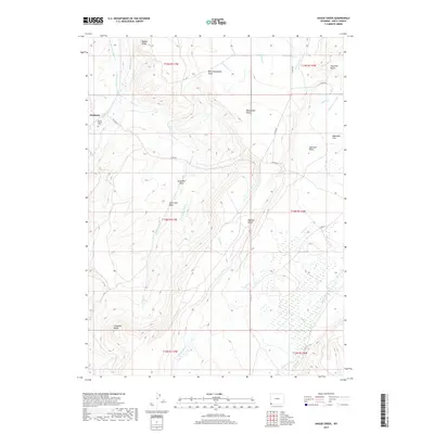
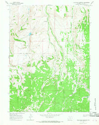
2017 Map of Hague Creek
USGS Topo · Published 2017About this map
Piedmont and its surroundings in Uinta County are defined by a network of early irrigation and high-desert drainage systems. The landscape is marked by the Byrne Ditch Number 2 and the Pine Grove Canal, reflecting the vital importance of water management in this high-altitude terrain. For those tracing local families, the Byrne Family Cem and specifically named topographical features like Anna Holt Draw and Alma Holt Draw provide distinct geographic markers of the area's early residents.
Find a feature on this map
41 named features on this map. Tap any name to fly to it.
Don’t see what you’re looking for? This feature index may not catch every label — zoom into the map to look around manually.
Map Details
Editions of this 2017 Hague Creek Map
This is the sole edition of this map. No revisions or reprints were ever made.
Other maps of this area

1954 · Ogden
USGS Topo · 1:250,000

1958 · Ogden
USGS Topo · 1:250,000

1960 · Ogden
USGS Topo · 1:250,000

1964 · Fort Bridger
USGS Topo · 1:24,000
1964 · Buck Fever Ridge
USGS Topo · 1:24,000
1964 · Robertson
USGS Topo · 1:24,000

1965 · Ragan
USGS Topo · 1:24,000

1965 · Leroy
USGS Topo · 1:24,000
1965 · Hague Creek
USGS Topo · 1:24,000
1965 · Moslander Reservoir
USGS Topo · 1:24,000