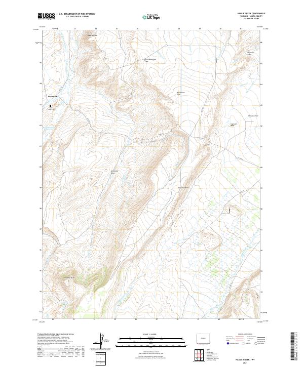
2021 Map of Hague Creek
USGS Topo · Published 2021About this map
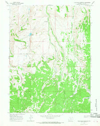
Piedmont sits at the northwestern edge of this high-altitude landscape in Uinta County, where the transition between arid draws and mountain ridges defines the local geography. Family history is centered at the Byrne Family Cem, located near the intersection of Piedmont Cr and Muddy Cr. The map reveals a complex water management system essential for high-desert survival, including the Byrne Ditch Number 2, Pine Grove Canal, and the Little Piedmont Reservoir. Prominent landmarks such as Chapman Butte and Haystack Butte anchor the horizon, while numerous draws like Alma Holt Draw and West Musselman Draw indicate the drainage patterns toward the southern Blacks Fork. These features reflect a legacy of ranching and early irrigation efforts in a demanding Wyoming environment.
Find a feature on this map
40 named features on this map. Tap any name to fly to it.
Don’t see what you’re looking for? This feature index may not catch every label — zoom into the map to look around manually.
Map Details
Editions of this 2021 Hague Creek Map
This is the sole edition of this map. No revisions or reprints were ever made.
Other maps of this area

1954 · Ogden
USGS Topo · 1:250,000

1958 · Ogden
USGS Topo · 1:250,000

1960 · Ogden
USGS Topo · 1:250,000

1964 · Fort Bridger
USGS Topo · 1:24,000
1964 · Buck Fever Ridge
USGS Topo · 1:24,000
1964 · Robertson
USGS Topo · 1:24,000

1965 · Ragan
USGS Topo · 1:24,000

1965 · Leroy
USGS Topo · 1:24,000
1965 · Hague Creek
USGS Topo · 1:24,000
1965 · Moslander Reservoir
USGS Topo · 1:24,000