
1891 Map of Hahnville
USGS Topo · Published 1891About this map
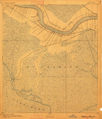
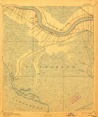
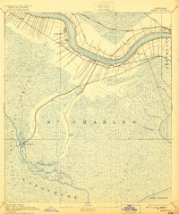
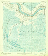
Hahnville and its surrounding riverfront settlements define the late-nineteenth-century landscape of St Charles Parish, where the winding Mississippi River dictated the placement of every major home and depot. In the 1890s, the region was a critical nexus for southern transportation, with the Texas and Pacific Railroad and the Southern Pacific Railroad carving paths through the wetlands toward the southwest. Moving away from the river, the landscape transitions into the water-logged expanse of the Grand Prairie Des Allemands. This environment is punctuated by intricate waterways like Bayou Black Prince and Bayou Piquant, which flow into the massive Lake Salvador. The map provides a detailed view of family-named settlements like Davis, Rost, and Loquer during a period when the river-and-rail economy was transforming traditional bayou life.
Find a feature on this map
33 named features on this map. Tap any name to fly to it.
Don’t see what you’re looking for? This feature index may not catch every label — zoom into the map to look around manually.
Map Details
Editions of this 1891 Hahnville Map
5 editions found
Other maps of this area

1891 · Spanish Fort
USGS Topo · 1:62,500

1891 · New Orleans
USGS Topo · 1:62,500

1892 · Barataria
USGS Topo · 1:62,500

1892 · Lac Des Allemands
USGS Topo · 1:62,500

1892 · Mount Airy
USGS Topo · 1:62,500

1892 · Bonnet Carre
USGS Topo · 1:62,500

1892 · Cut-Off
USGS Topo · 1:62,500

1892 · Houma
USGS Topo · 1:62,500

1932 · New Orleans NW
USGS Topo · 1:31,680

1932 · New Orleans SW
USGS Topo · 1:31,680