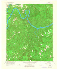
1963 Map of Hail
USGS Topo · Published 1966About this map
Cumberland National Forest dominates this McCreary County landscape, where the Cumberland River Lake winds through deep topographic bends. This 1963 revision reveals the river's path through named features like Barnett Bend, Jasper Bend, and Haynes Bend, with water levels noted as subject to controlled inundation. Small rural communities and church sites such as Hail, Bauer, and Salem Ch serve as vital anchor points for genealogists and local historians. The eastern portion of the map is defined by an intricate network of narrow ridges, including Double Tarkin Ridge and Baby Stocking Ridge, while the Southern railroad line and U S Highway 27 provide the primary transit corridors near Greenwood. The map provides a look at the transition of the river into a reservoir system while maintaining the specific family-named landmarks of the surrounding uplands.
Find a feature on this map
48 named features on this map. Tap any name to fly to it.
Don’t see what you’re looking for? This feature index may not catch every label — zoom into the map to look around manually.
Map Details
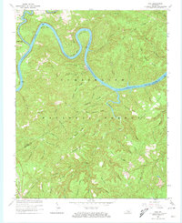
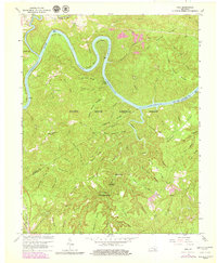
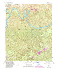
Editions of this 1963 Hail Map
4 editions found
Other maps of this area

1890 · Williamsburg
USGS Topo · 1:125,000

1893 · London
USGS Topo · 1:125,000

1894 · Williamsburg
USGS Topo · 1:125,000

1897 · London
USGS Topo · 1:125,000

1932 · Burnside
USGS Topo · 1:62,500

1935 · Somerset
USGS Topo · 1:62,500

1952 · Hail
USGS Topo · 1:24,000

1952 · Ano
USGS Topo · 1:24,000

1952 · Wiborg
USGS Topo · 1:24,000

1952 · Cumberland Falls
USGS Topo · 1:24,000