
1956 Map of Haile
USGS Topo · Published 1957About this map
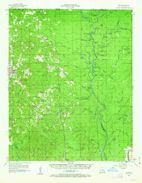
The Quachita River defines the eastern landscape of this 1950s Union Parish survey, winding through a complex of wetlands including Mallard Lake, Pistol Brake, and White Brake. The river's historical importance for transport is evident in named points like Shiloh Landing and Brantley Landing. To the west, the Missouri Pacific railroad corridor links a series of rural communities from Marion and Haile down to Upco and Cook.
Find a feature on this map
113 named features on this map. Tap any name to fly to it.
Don’t see what you’re looking for? This feature index may not catch every label — zoom into the map to look around manually.
Map Details
Editions of this 1956 Haile Map
4 editions found
Other maps of this area

1933 · Strong
USGS Topo · 1:62,500

1934 · Felsenthal
USGS Topo · 1:62,500

1935 · Collinston
USGS Topo · 1:62,500

1935 · Naff
USGS Topo · 1:62,500

1935 · Drew
USGS Topo · 1:62,500

1935 · Haile
USGS Topo · 1:62,500

1937 · Strong
USGS Topo · 1:62,500

1937 · Felsenthal
USGS Topo · 1:62,500

1938 · Felsenthal
USGS Topo · 1:62,500

1939 · Felsenthal
USGS Topo · 1:62,500