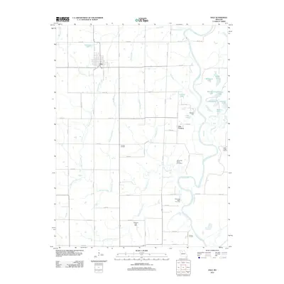
2012 Map of Hale
USGS Topo · Published 2012About this map
Hale serves as the primary hub of this north-central Missouri landscape, situated near the intersection of Sunset Dr and Locust St. The terrain is defined by the winding course of the Grand River and an intricate network of waterways including Hurricane Creek, Sally Belcher Creek, and Little Hurricane Creek. This 2012 survey illustrates the local reliance on water management, evidenced by structures such as Avwarter Dam, Shull Lake North Cove Dam, and Galbecht Lake Dam. To the east, the oxbows and bends of the river have created numerous water bodies like Rampshire Lake and Wheelbarger Lake. Smaller settlements and markers of local history, such as Little Compton and Elizabeth Cemetery, provide important touchpoints for genealogists and researchers exploring the rural character of the area just south of the Grand River floodplains.
Find a feature on this map
60 named features on this map. Tap any name to fly to it.
Don’t see what you’re looking for? This feature index may not catch every label — zoom into the map to look around manually.
Map Details
Editions of this 2012 Hale Map
This is the sole edition of this map. No revisions or reprints were ever made.
Other maps of this area

1890 · Marshall
USGS Topo · 1:125,000

1892 · Marshall
USGS Topo · 1:125,000

1901 · Marshall
USGS Topo · 1:125,000

1924 · Hale
USGS Topo · 1:62,500

1949 · Mendon
USGS Topo · 1:24,000

1949 · Sumner
USGS Topo · 1:24,000

1950 · Sumner
USGS Topo · 1:24,000

1950 · Hale
USGS Topo · 1:24,000

1951 · Hale
USGS Topo · 1:24,000

1951 · Bosworth
USGS Topo · 1:24,000