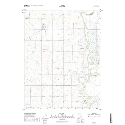
2017 Map of Hale
USGS Topo · Published 2017About this map
The town of Hale serves as the primary hub in this Missouri landscape, situated near the intersection of Carroll and Livingston counties. The terrain is defined by a dense network of waterways, most notably the meandering Grand River along the eastern boundary and the intricate drainage patterns of Hurricane Cr and Sally Belcher Cr. The map reveals a rural economy dependent on these water sources, with numerous oxbow lakes such as Horseshoe Lake and Grassy Lake dotting the river valley. Genealogists will find significant value in the location of several burial grounds, including Hale Cem, Elizabeth Cem, and Winfrey Cem. The inclusion of Eagle Lodge Airport and a modern road network including State Hwy HH highlights the transition from early river-based settlement to contemporary transportation patterns in the region.
Find a feature on this map
88 named features on this map. Tap any name to fly to it.
Don’t see what you’re looking for? This feature index may not catch every label — zoom into the map to look around manually.
Map Details
Editions of this 2017 Hale Map
This is the sole edition of this map. No revisions or reprints were ever made.
Other maps of this area

1890 · Marshall
USGS Topo · 1:125,000

1892 · Marshall
USGS Topo · 1:125,000

1901 · Marshall
USGS Topo · 1:125,000

1924 · Hale
USGS Topo · 1:62,500

1949 · Mendon
USGS Topo · 1:24,000

1949 · Sumner
USGS Topo · 1:24,000

1950 · Sumner
USGS Topo · 1:24,000

1950 · Hale
USGS Topo · 1:24,000

1951 · Hale
USGS Topo · 1:24,000

1951 · Bosworth
USGS Topo · 1:24,000