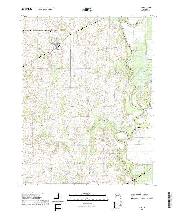
2021 Map of Hale
USGS Topo · Published 2021About this map
The town of Hale sits at the northern edge of this agricultural region where the borders of Carroll, Livingston, and Chariton counties converge. The local landscape is defined by the winding course of the Grand River, which creates a complex network of oxbow features and wetlands including Hampshire Lake, Horseshoe Lake, and Lightfoot Lake. These backwaters, along with the adjacent Yellow Cr, illustrate the historical shiftings of the riverbed across the alluvial plain, leaving a legacy of named water bodies that have sustained local fishing and farming for generations.
Find a feature on this map
77 named features on this map. Tap any name to fly to it.
Don’t see what you’re looking for? This feature index may not catch every label — zoom into the map to look around manually.
Map Details
Editions of this 2021 Hale Map
This is the sole edition of this map. No revisions or reprints were ever made.
Other maps of this area

1890 · Marshall
USGS Topo · 1:125,000

1892 · Marshall
USGS Topo · 1:125,000

1901 · Marshall
USGS Topo · 1:125,000

1924 · Hale
USGS Topo · 1:62,500

1949 · Mendon
USGS Topo · 1:24,000

1949 · Sumner
USGS Topo · 1:24,000

1950 · Sumner
USGS Topo · 1:24,000

1950 · Hale
USGS Topo · 1:24,000

1951 · Hale
USGS Topo · 1:24,000

1951 · Bosworth
USGS Topo · 1:24,000