1950 Map of Hale
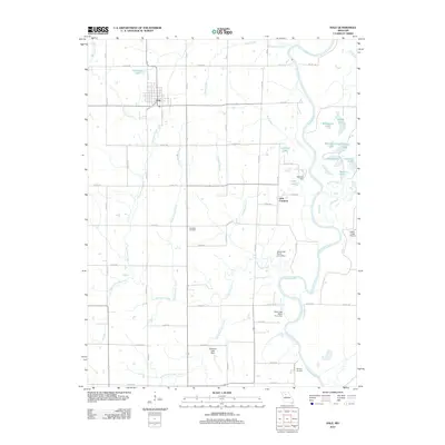
USGS Topo · Published 1979About this map
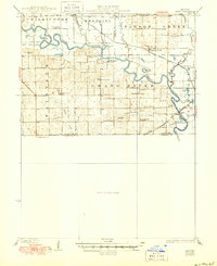
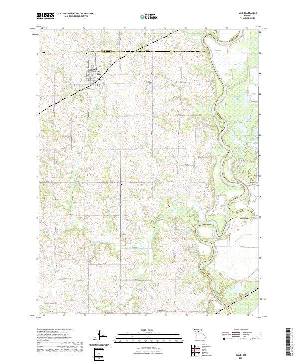
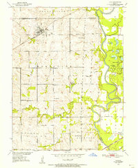
Hale serves as the central settlement on this mid-century topographic record, situated just south of the Livingston Co Carroll Co line. The town's grid is anchored by the Hale Cemetery and the Chicago Burlington and Quincy railroad line, while several outlying rural schoolhouses, including Clione School and Dulaney School, suggest a landscape still organized around small farming districts. To the east, the Grand River and Yellow Creek meander through a series of oxbow lakes like Wheelbarger Lake and Grassy Lake, protected by a system of Levees. The southern edge of the sheet is defined by the Atchison Topeka and Santa Fe railroad, crossing the Grand River near the Winfrey Cemetery. This map captures a transition in the Missouri River Basin as traditional agricultural patterns, evidenced by the many local schools and family-named cemeteries like Elizabeth Cemetery, coexist with early industrial Strip Mines.
Find a feature on this map
38 named features on this map. Tap any name to fly to it.
Don’t see what you’re looking for? This feature index may not catch every label — zoom into the map to look around manually.
Map Details
Editions of this 1950 Hale Map
2 editions found
Historical Maps of Hale Through Time
8 maps found