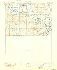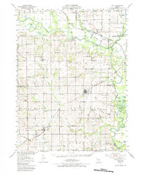
1951 Map of Hale
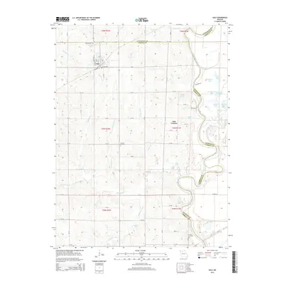
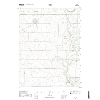
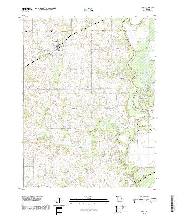
USGS Topo · Published 1984About this map
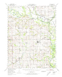
Avalon and Hale anchor a landscape defined by the intersection of the Grand River and numerous meandering waterways like Medicine Creek and Yellow Creek. This early 1950s record reveals a highly organized rural society before school consolidation, evidenced by dozens of local education centers such as Dulaney Sch, Ironclad Sch, and Pension Sch. The terrain is marked by prominent high points including Stokes Mound and Tater Hill, while several sites are already noted as out of use, such as the Asper Sch (Abandoned). Connectivity across the river valleys is maintained by a dense network of country roads and rail lines, including the Wabash and Chicago Burlington and Quincy, which supported the agricultural and mining economy reflected by local Strip Mines. Numerous oxbow lakes like Hog Lake and Wheelbarger Lake dot the bottomlands, tracing the historical shifts of the river channels.
Find a feature on this map
80 named features on this map. Tap any name to fly to it.
Don’t see what you’re looking for? This feature index may not catch every label — zoom into the map to look around manually.
Map Details
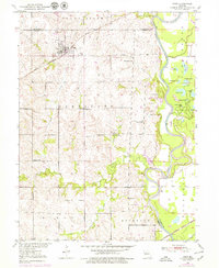
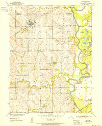
Editions of this 1951 Hale Map
3 editions found

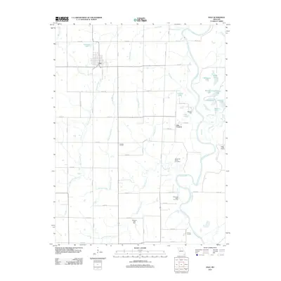
Historical Maps of Hale Through Time
8 maps found