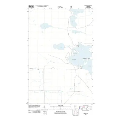
2011 Map of Haley
USGS Topo · Published 2011About this map
Vermilion Lake dominates the eastern portion of this northern Minnesota landscape, creating a complex shoreline of inlets and family-named landmarks. The settlement of Wakemup sits at the water's edge, characterized by local sites such as the Indian Cemetery and nearby Schmidts Island. Further west, the small community of Haley serves as a junction for local roads like Winnifred Rd and County Hwy-505.
Find a feature on this map
35 named features on this map. Tap any name to fly to it.
Don’t see what you’re looking for? This feature index may not catch every label — zoom into the map to look around manually.
Map Details
Editions of this 2011 Haley Map
This is the sole edition of this map. No revisions or reprints were ever made.
Other maps of this area

1954 · Hibbing
USGS Topo · 1:250,000

1954 · International Falls
USGS Topo · 1:250,000

1957 · Hibbing
USGS Topo · 1:250,000

1957 · International Falls
USGS Topo · 1:250,000

1958 · International Falls
USGS Topo · 1:250,000

1958 · Hibbing
USGS Topo · 1:250,000

1964 · Hibbing
USGS Topo · 1:250,000

1964 · Linden Grove
USGS Topo · 1:24,000

1964 · Haley
USGS Topo · 1:24,000

1964 · Gheen
USGS Topo · 1:24,000