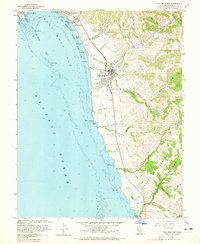
1961 Map of Half Moon Bay
USGS Topo · Published 1965About this map
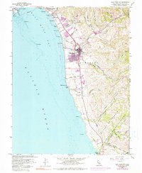
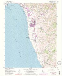
Half Moon Bay serves as the focal point of this coastal survey, where the town's street grid meets the Pacific edge near the IOOF Cem. The landscape transitions from the protected waters of Pillar Point Harbor down a string of shoreline designations, including Naples Beach, Dunes Beach, and Venice Beach. Inland, the terrain is defined by the sharp canyons of Pilarcitos Creek and Arroyo Leon, where an Oil Derrick and a Radio Sta near the coast mark mid-century industrial presence. Further south, the rural character of San Mateo County is preserved through landmarks like the Lobitos Schoolhouse and the Tunitas Sch along the winding Tunitas Creek Road. This 1961 revision documents the area before significant modern suburban expansion, showing a coastline defined by land grants such as the Corral de Tierra and the remnants of the Old Railroad Grade.
Find a feature on this map
63 named features on this map. Tap any name to fly to it.
Don’t see what you’re looking for? This feature index may not catch every label — zoom into the map to look around manually.
Map Details
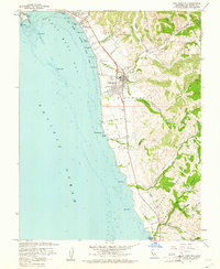
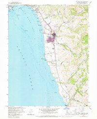
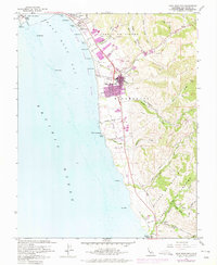
Editions of this 1961 Half Moon Bay Map
6 editions found
Other maps of this area

1892 · San Mateo
USGS Topo · 1:62,500

1896 · San Mateo
USGS Topo · 1:62,500

1899 · San Mateo
USGS Topo · 1:62,500

1902 · Santa Cruz
USGS Topo · 1:125,000

1915 · San Mateo
USGS Topo · 1:62,500

1939 · San Mateo
USGS Topo · 1:62,500

1940 · Halfmoon Bay
USGS Topo · 1:62,500

1943 · San Mateo
USGS Topo · 1:62,500

1943 · Halfmoon Bay
USGS Topo · 1:62,500

1947 · San Francisco
USGS Topo · 1:250,000