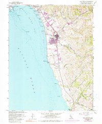
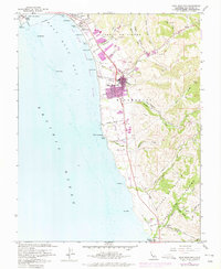
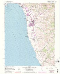
1961 Map of Half Moon Bay
USGS Topo · Published 1980About this map
The coastal communities of San Mateo County are captured here during a period of transition as mid-century urban expansion reaches the shore. Half Moon Bay serves as the primary hub, surrounded by a series of distinct beach settlements including Miramar and El Granada Beach. The presence of the Ocean Shore Railroad (Abandoned) alignment traces a former era of rail-connected tourism along the cliffs, while the inland canyons like Digges Canyon Creek and Arroyo Leon maintain their agricultural character.
Find a feature on this map
61 named features on this map. Tap any name to fly to it.
Don’t see what you’re looking for? This feature index may not catch every label — zoom into the map to look around manually.
Map Details
Editions of this 1961 Half Moon Bay Map
6 editions found
Other maps of this area

1892 · San Mateo
USGS Topo · 1:62,500

1896 · San Mateo
USGS Topo · 1:62,500

1899 · San Mateo
USGS Topo · 1:62,500

1902 · Santa Cruz
USGS Topo · 1:125,000

1915 · San Mateo
USGS Topo · 1:62,500

1939 · San Mateo
USGS Topo · 1:62,500

1940 · Halfmoon Bay
USGS Topo · 1:62,500

1943 · San Mateo
USGS Topo · 1:62,500

1943 · Halfmoon Bay
USGS Topo · 1:62,500

1947 · San Francisco
USGS Topo · 1:250,000