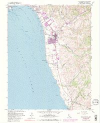
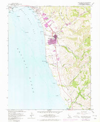
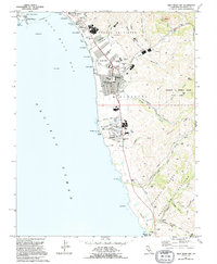
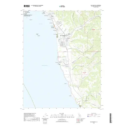
1961 Map of Half Moon Bay
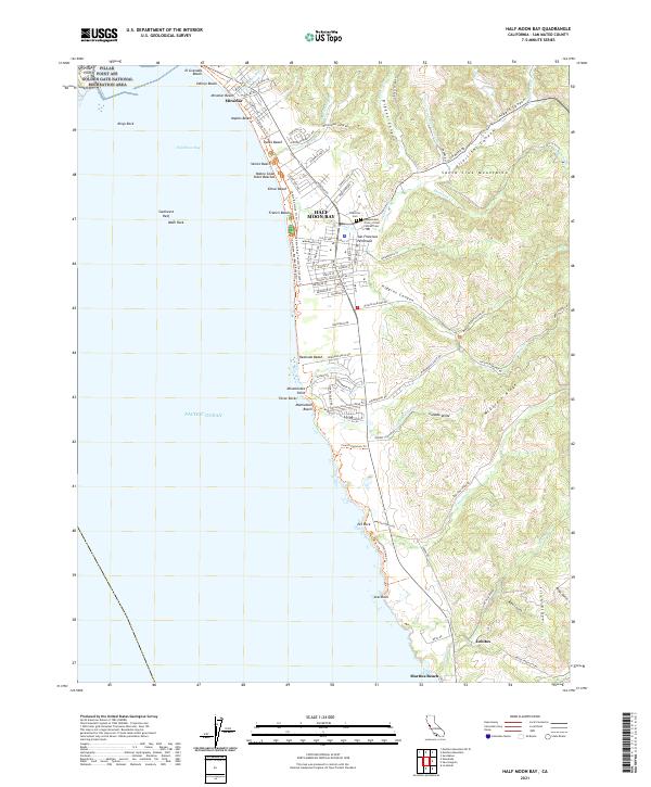
USGS Topo · Published 1990About this map
Half Moon Bay serves as the focal point of this coastal survey, where the town's grid expands inland from the San Mateo Coast State Beaches. The landscape is defined by the transition from the Pacific Ocean to the rising terrain of Miramontes and the Corral de Tierra (Vasquez) grant. Traces of earlier infrastructure are visible in the Old Railroad Grade winding through the hills, while rural life is anchored by landmarks like the Lobitos Schoolhouse and the IOOF Cem. Coastal development is prominent near Pillar Point Harbor and extending through a series of named shorelines including Venice Beach and Francis Beach. The map also captures the local agricultural and industrial character, noting an Oil Derrick in the hills and numerous creeks like Pilarcitos Creek and Purisima Creek that carve canyons toward the sea.
Find a feature on this map
75 named features on this map. Tap any name to fly to it.
Don’t see what you’re looking for? This feature index may not catch every label — zoom into the map to look around manually.
Map Details
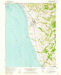
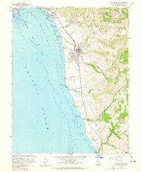
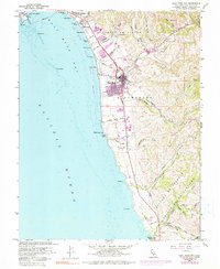
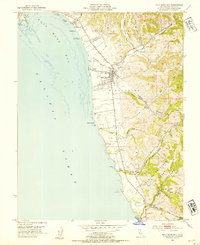
Editions of this 1961 Half Moon Bay Map
6 editions found
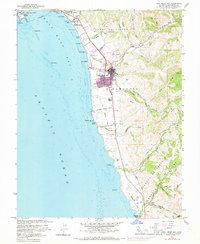
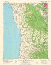
Historical Maps of Half Moon Bay Through Time
9 maps found
1952 Half Moon Bay
San Mateo County, CA
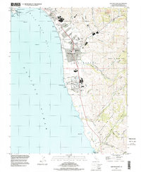
1961 Half Moon Bay
San Mateo County, CA
1961 Half Moon Bay
San Mateo County, CA
1991 Half Moon Bay
San Mateo County, CA
1997 Half Moon Bay
San Mateo County, CA
2012 Half Moon Bay
San Mateo County, CA
2015 Half Moon Bay
San Mateo County, CA
2018 Half Moon Bay
San Mateo County, CA
2021 Half Moon Bay
San Mateo County, CA