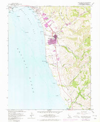
1961 Map of Half Moon Bay
USGS Topo · Published 1975About this map
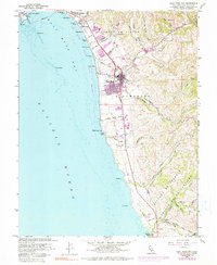
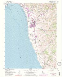
Pillar Point Harbor and the sweeping crescent of Half Moon Bay define this coastal landscape at a time of transitioning land use. While the town of Half Moon Bay is the primary hub, the map reveals a rural character preserved in the surrounding hills and canyons. Historical Mexican land grant divisions, such as the Miramontes Grant Bdy and Corral de Tierra (Vasquez), still dictate the local geography. Coastal life is marked by numerous State Beaches including Venice Beach and Dunes Beach, alongside industrial and agricultural markers like an Oil Derrick and a Gravel Pit. Further south, the map details the more isolated settlement of Lobitos, featuring the Lobitos Schoolhouse and the winding path of Lobitos Creek. The influence of the former shoreline railroad is preserved in the Old Railroad Grade that snakes along the bluffs toward Martins Beach.
Find a feature on this map
65 named features on this map. Tap any name to fly to it.
Don’t see what you’re looking for? This feature index may not catch every label — zoom into the map to look around manually.
Map Details
Editions of this 1961 Half Moon Bay Map
6 editions found
Other maps of this area

1892 · San Mateo
USGS Topo · 1:62,500

1896 · San Mateo
USGS Topo · 1:62,500

1899 · San Mateo
USGS Topo · 1:62,500

1902 · Santa Cruz
USGS Topo · 1:125,000

1915 · San Mateo
USGS Topo · 1:62,500

1939 · San Mateo
USGS Topo · 1:62,500

1940 · Halfmoon Bay
USGS Topo · 1:62,500

1943 · San Mateo
USGS Topo · 1:62,500

1943 · Halfmoon Bay
USGS Topo · 1:62,500

1947 · San Francisco
USGS Topo · 1:250,000