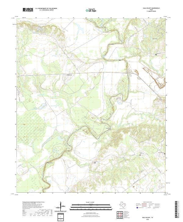
2022 Map of Halls Bluff
USGS Topo · Published 2022About this map
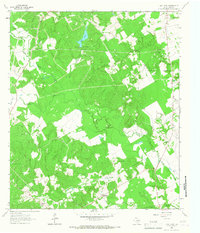
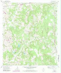
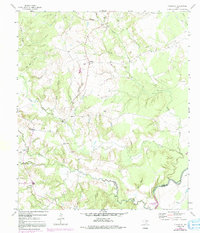
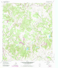
The Trinity River carves a winding path through the borderlands of Leon and Houston counties, defining a landscape of dramatic river bends and high overlooks. Notable elevations along the eastern banks include Yellow Bluff and Brookfield Bluff, which overlook a complex network of sloughs and lakes like Horseshoe Lake and Rex C Cauble Lake. The settlement of Malvern sits inland from the river's edge, serving as a hub for the local road network that connects several established family and community burial grounds.
Find a feature on this map
55 named features on this map. Tap any name to fly to it.
Don’t see what you’re looking for? This feature index may not catch every label — zoom into the map to look around manually.
Map Details
Editions of this 2022 Halls Bluff Map
This is the sole edition of this map. No revisions or reprints were ever made.
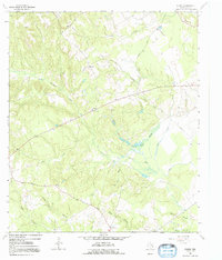
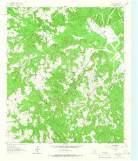
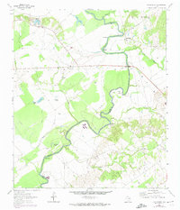
Historical Maps of Halls Bluff Through Time
20 maps found
1964 Eunice
Leon County, TX
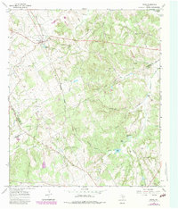
1964 Flo
Leon County, TX
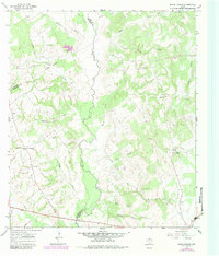
1964 Halls Bluff
Leon County, TX
1964 Lake Leon
Leon County, TX
1964 Margie
Leon County, TX
1964 Middleton
Leon County, TX
1964 Spring Seat
Leon County, TX
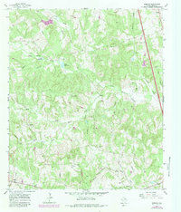
1965 Donie
Leon County, TX
1965 Robbins
Leon County, TX
1966 Round Prairie
Leon County, TX
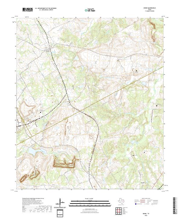
2022 Donie
Leon County, TX

2022 Eunice
Leon County, TX
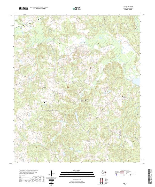
2022 Flo
Leon County, TX
2022 Halls Bluff
Leon County, TX
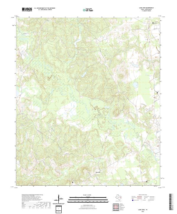
2022 Lake Leon
Leon County, TX
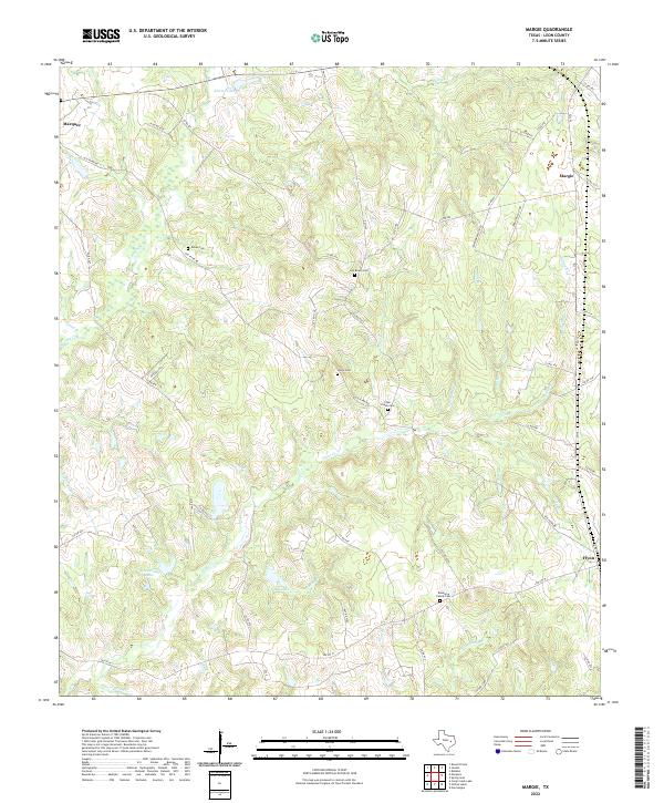
2022 Margie
Leon County, TX
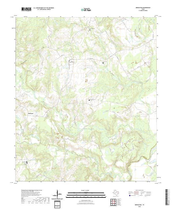
2022 Middleton
Leon County, TX
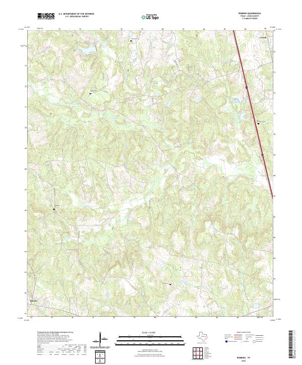
2022 Robbins
Leon County, TX
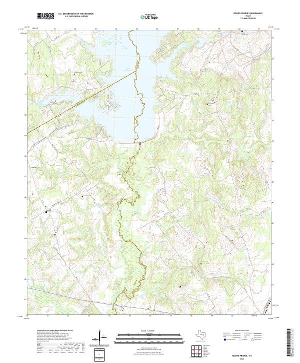
2022 Round Prairie
Leon County, TX
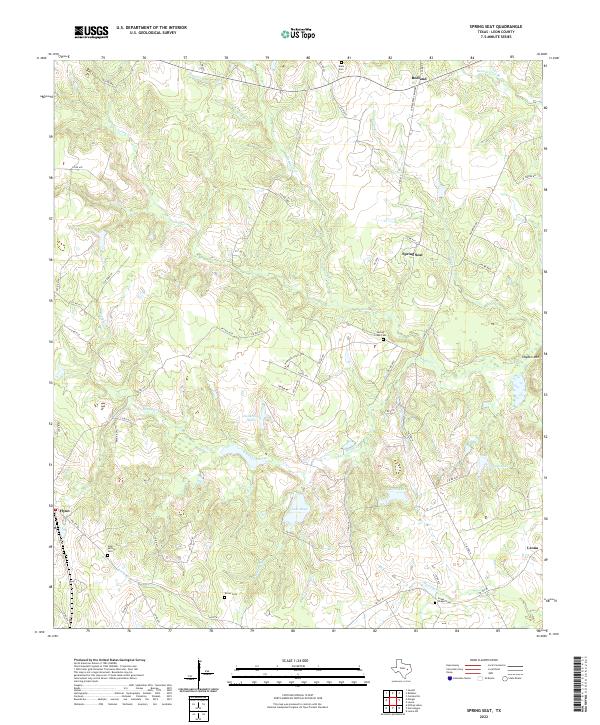
2022 Spring Seat
Leon County, TX