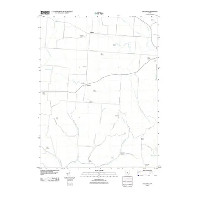
2010 Map of Hallsville
USGS Topo · Published 2010About this map
Hallsville and the surrounding Ross County farmland are defined by a network of rural routes and historic burying grounds in this 2010 survey. The area transitions from the open agricultural flats of The Prairie in the north to the increasingly dissected terrain of Brush Ridge and Rock Hill in the south. Several established family and community landmarks are documented, including the Hallsville Post Office and the Brush Ridge Lookout Tower.
Find a feature on this map
69 named features on this map. Tap any name to fly to it.
Don’t see what you’re looking for? This feature index may not catch every label — zoom into the map to look around manually.
Map Details
Editions of this 2010 Hallsville Map
This is the sole edition of this map. No revisions or reprints were ever made.
Other maps of this area

1906 · Chillicothe
USGS Topo · 1:62,500

1907 · Lancaster
USGS Topo · 1:62,500

1908 · Chillicothe
USGS Topo · 1:62,500

1909 · Lancaster
USGS Topo · 1:62,500

1910 · Laurelville
USGS Topo · 1:62,500

1912 · Laurelville
USGS Topo · 1:62,500

1914 · Circleville
USGS Topo · 1:62,500

1943 · Circleville
USGS Topo · 1:62,500

1944 · Laurelville
USGS Topo · 1:62,500

1947 · Columbus
USGS Topo · 1:250,000