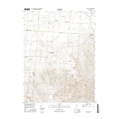
2016 Map of Hallsville
USGS Topo · Published 2016About this map
The borderlands of Ross and Pickaway counties are defined by a shift from the level terrain of The Prairie to the dissected hills of the Appalachian Plateau. The village of Hallsville serves as a central hub, surrounded by a network of family-named burial grounds including Throckmorton Cem, Hickle Cem, and Maple Grove Cem. To the northeast, the settlement of Adelphi sits near the headwaters of Salt Cr, while the village of Whisler occupies the northern plains near Plum Run.
Find a feature on this map
114 named features on this map. Tap any name to fly to it.
Don’t see what you’re looking for? This feature index may not catch every label — zoom into the map to look around manually.
Map Details
Editions of this 2016 Hallsville Map
This is the sole edition of this map. No revisions or reprints were ever made.
Other maps of this area

1906 · Chillicothe
USGS Topo · 1:62,500

1907 · Lancaster
USGS Topo · 1:62,500

1908 · Chillicothe
USGS Topo · 1:62,500

1909 · Lancaster
USGS Topo · 1:62,500

1910 · Laurelville
USGS Topo · 1:62,500

1912 · Laurelville
USGS Topo · 1:62,500

1914 · Circleville
USGS Topo · 1:62,500

1943 · Circleville
USGS Topo · 1:62,500

1944 · Laurelville
USGS Topo · 1:62,500

1947 · Columbus
USGS Topo · 1:250,000