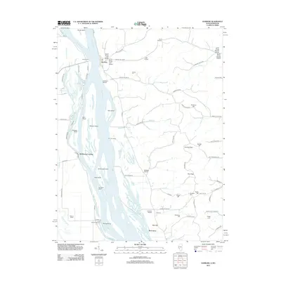
2012 Map of Hamburg
USGS Topo · Published 2012About this map
The Mississippi River corridor dominates this landscape, where a complex network of chutes and sloughs surrounds a chain of significant islands including Mozier Island, Kelly Island, and Sterling Island. The village of Hamburg sits at the river's edge, serving as a focal point for local transport at the Hamburg Ferry crossing. This survey illustrates a river-dependent economy and community structure, with historical points of entry like Old Westport Landing and Burr Oak Landing marking the shoreline. Inland, the topography rises into a series of ridges and hollows, such as Dividing Ridge and Gresham Hollow, which define the agricultural and residential patterns of the area. Genealogists will find several burial sites including Mount Hope Cem and Dixon Cem, while local aviation is represented by Sloan's Airport near the river's southern reach.
Find a feature on this map
92 named features on this map. Tap any name to fly to it.
Don’t see what you’re looking for? This feature index may not catch every label — zoom into the map to look around manually.
Map Details
Editions of this 2012 Hamburg Map
This is the sole edition of this map. No revisions or reprints were ever made.
Other maps of this area

1930 · Pearl
USGS Topo · 1:62,500

1930 · Nebo
USGS Topo · 1:62,500

1930 · Hardin
USGS Topo · 1:62,500

1934 · Nebo
USGS Topo · 1:48,000

1934 · Elsberry
USGS Topo · 1:48,000

1934 · Hardin
USGS Topo · 1:62,500

1938 · Hardin
USGS Topo · 1:62,500

1942 · Nebo
USGS Topo · 1:62,500

1942 · Elsberry
USGS Topo · 1:62,500

1948 · Quincy
USGS Topo · 1:250,000