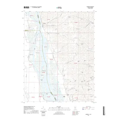
2018 Map of Hamburg
USGS Topo · Published 2018About this map
Mississippi River bottomlands and the rugged bluffs of Calhoun County define this landscape, where the river divides Illinois from Missouri. The settlement of Hamburg sits at the river's edge, while Hardin occupies the southeastern reach near the Lincoln Valley. This area is characterized by a complex network of side channels and wetlands, including Westport Chute, Kickapoo Chute, and numerous named islands like Schwanigan Island and Eagle Island.
Find a feature on this map
110 named features on this map. Tap any name to fly to it.
Don’t see what you’re looking for? This feature index may not catch every label — zoom into the map to look around manually.
Map Details
Editions of this 2018 Hamburg Map
This is the sole edition of this map. No revisions or reprints were ever made.
Other maps of this area

1930 · Pearl
USGS Topo · 1:62,500

1930 · Nebo
USGS Topo · 1:62,500

1930 · Hardin
USGS Topo · 1:62,500

1934 · Nebo
USGS Topo · 1:48,000

1934 · Elsberry
USGS Topo · 1:48,000

1934 · Hardin
USGS Topo · 1:62,500

1938 · Hardin
USGS Topo · 1:62,500

1942 · Nebo
USGS Topo · 1:62,500

1942 · Elsberry
USGS Topo · 1:62,500

1948 · Quincy
USGS Topo · 1:250,000